
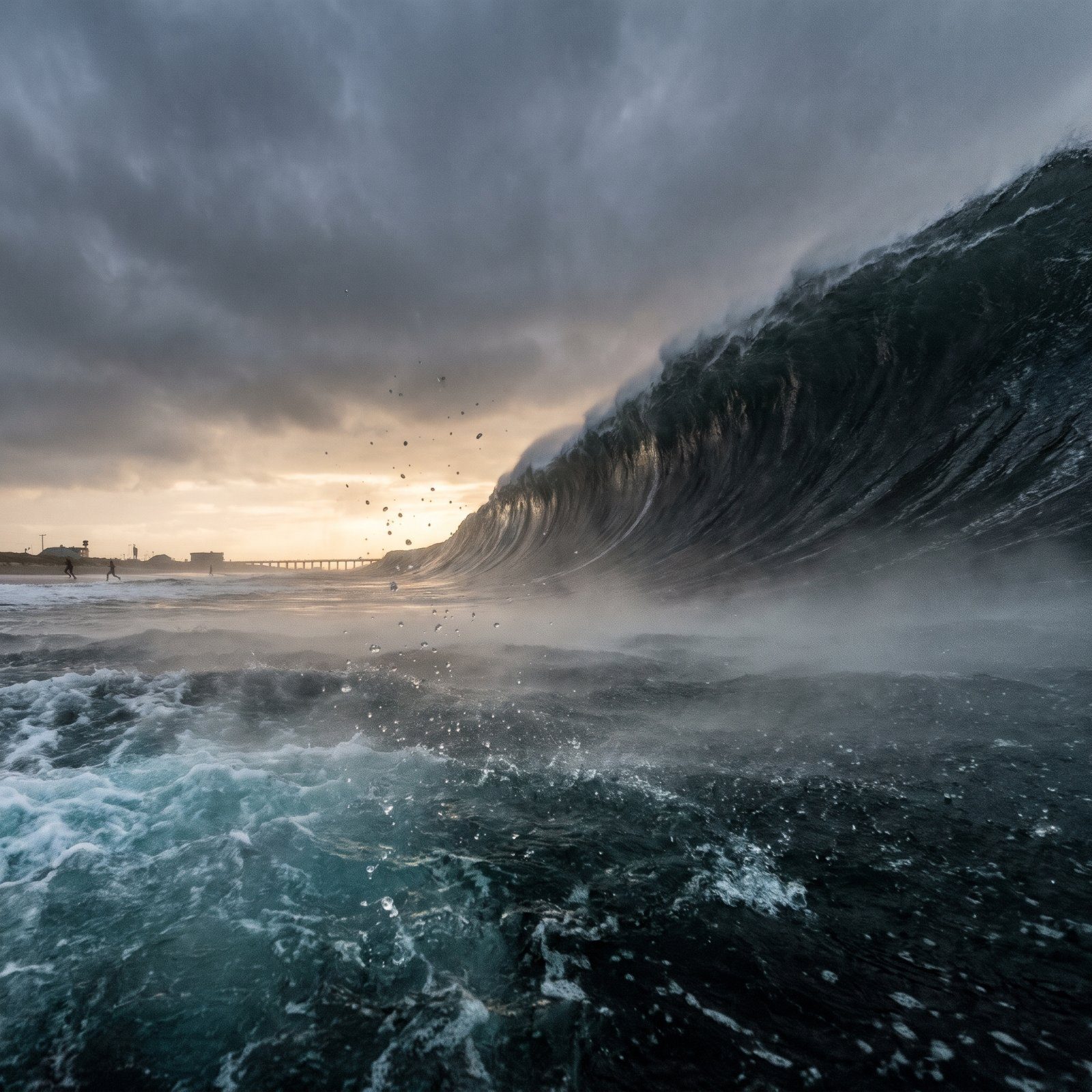
A wave 500 feet tall moves at roughly the speed of a jetliner, and by the time you spot it the decision to run has already been made for you. We fed that nightmare to an AI image engine and aimed it at landmarks you’d recognize in a heartbeat: Lady Liberty, the Opera House, Big Ben by the Thames. What came back is pure hypothetical. No forecast, no prophecy. But the physics underneath is real, and real coastlines have been rearranged by water before. Look closely at each one. The scale is genuinely hard to hold in your head, and that’s the whole reason these images stick.
32. The Statue of Liberty Dwarfed by a 500-Foot Wall of Water
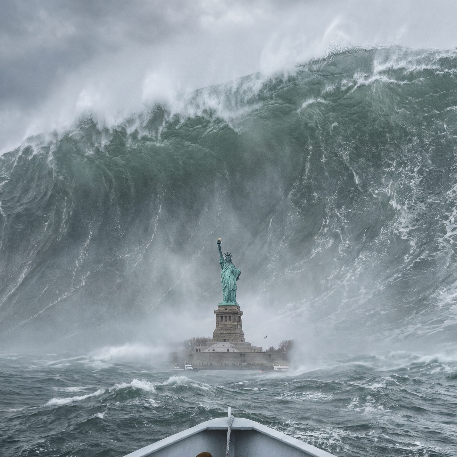
Here’s the detail that lands. The full statue, torch and all, stands about 305 feet, and the wave in this image climbs higher than her flame. She’d be swallowed whole.
The scenario is invented, but New York harbor sits in a genuine scientific argument. Geologists have long debated whether a collapsing flank of the Cumbre Vieja volcano in the Canary Islands could hurl a wave across the Atlantic. Most modeling now says any such wave would arrive far smaller than the disaster-movie version. Reassuring. And the copper skin, by the way, is only about as thick as two stacked pennies.
31. Sydney Opera House Under a Collapsing Ocean Crest
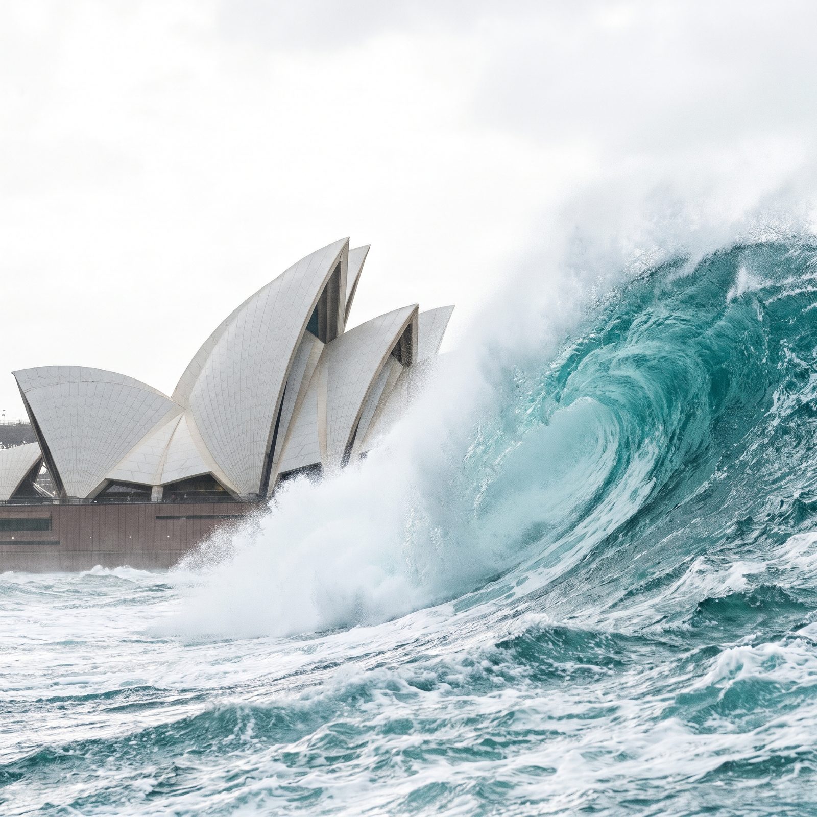
Those famous white shells aren’t smooth at all. Lean in and the roof turns out to be a mosaic of more than a million cream and glossy-white tiles, laid in a chevron pattern so the surface glints differently as clouds slide past.
Against a wave this size, the whole thing reads as a toy. The real Opera House perches barely above sea level on a spit jutting into the harbor, which is exactly what makes this image so unsettling. Australia’s east coast gets genuine tsunami warnings, usually from distant Pacific quakes. But the waves that actually reach Sydney tend to be measured in inches, not stories.
30. The Golden Gate Bridge Swallowed Where the Pacific Pours In
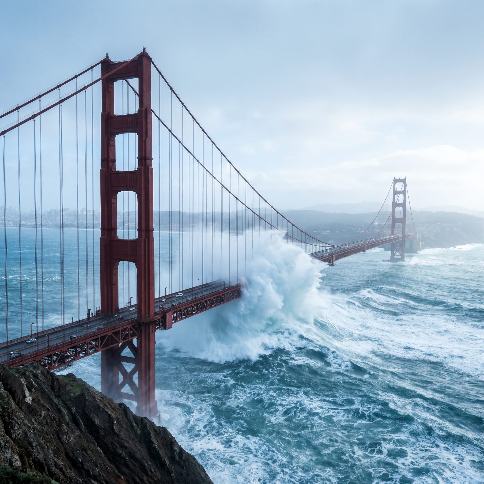
The towers climb about 746 feet above the water. Here a huge wave crest explodes up past deck level at mid-span, engulfing the roadway and rising into the suspender cables, while both towers still stand above the spray.
The Golden Gate is a real seismic worry, just not this particular one. The San Andreas and Hayward faults run nearby, and the bridge has been retrofitted for decades to survive a major quake. A locally generated tsunami is possible along the California coast, sure, but the catastrophic over-the-towers spectacle belongs to fiction.
Paint it end to end and the crew essentially never finishes. By the time they reach one end, the other needs touching up again.
29. Christ the Redeemer Looking Down on a Wave Climbing the Mountain
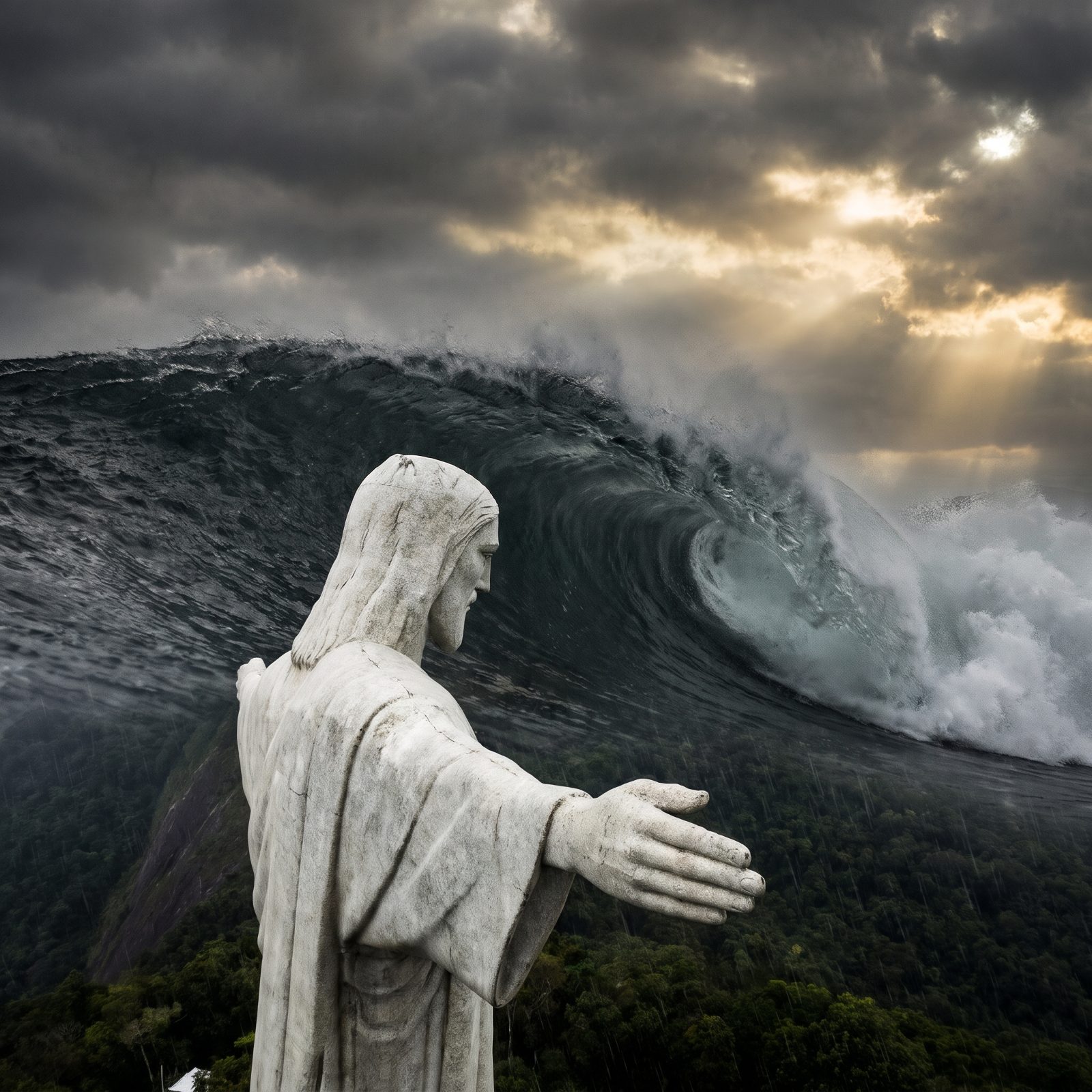
This one cheats the physics, and that’s precisely the horror of it. Christ the Redeemer stands about 98 feet tall on a mountaintop more than 2,300 feet above the sea. No tsunami on Earth reaches him.
So the image makes you do the arithmetic backwards. For water to climb that far up Corcovado, the city of Rio below would already be gone. The statue itself is carved soapstone over a reinforced concrete core, and it takes lightning strikes fairly often, needing periodic repairs to the fingers and head.
28. Santa Monica Pier With Its Ferris Wheel Under the Crest
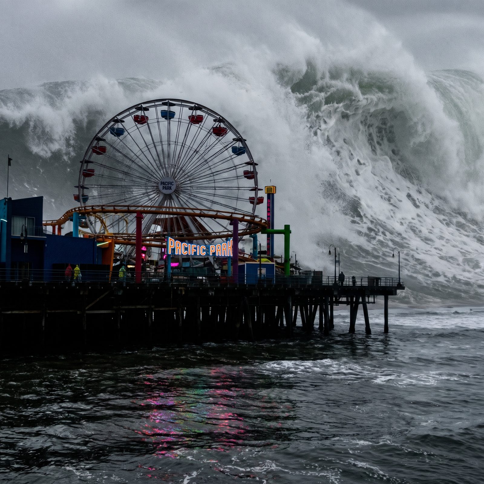
The Ferris wheel is the gut-punch here. That solar-powered wheel on Pacific Park stands only about 130 feet tall, so a 500-foot wave reduces it to a child’s trinket.
Santa Monica does sit in a genuine tsunami inundation zone, mapped by California’s geological survey. The real threat is modest. A few feet of surge during a strong distant event, enough to flood the parking lots and the pier underside, nowhere near enough to erase the wheel. That wooden deck has been rebuilt many times over, because storms and shipworms chew through pilings faster than most people guess.
27. Big Ben and the Thames Overtaken by an Impossible Surge
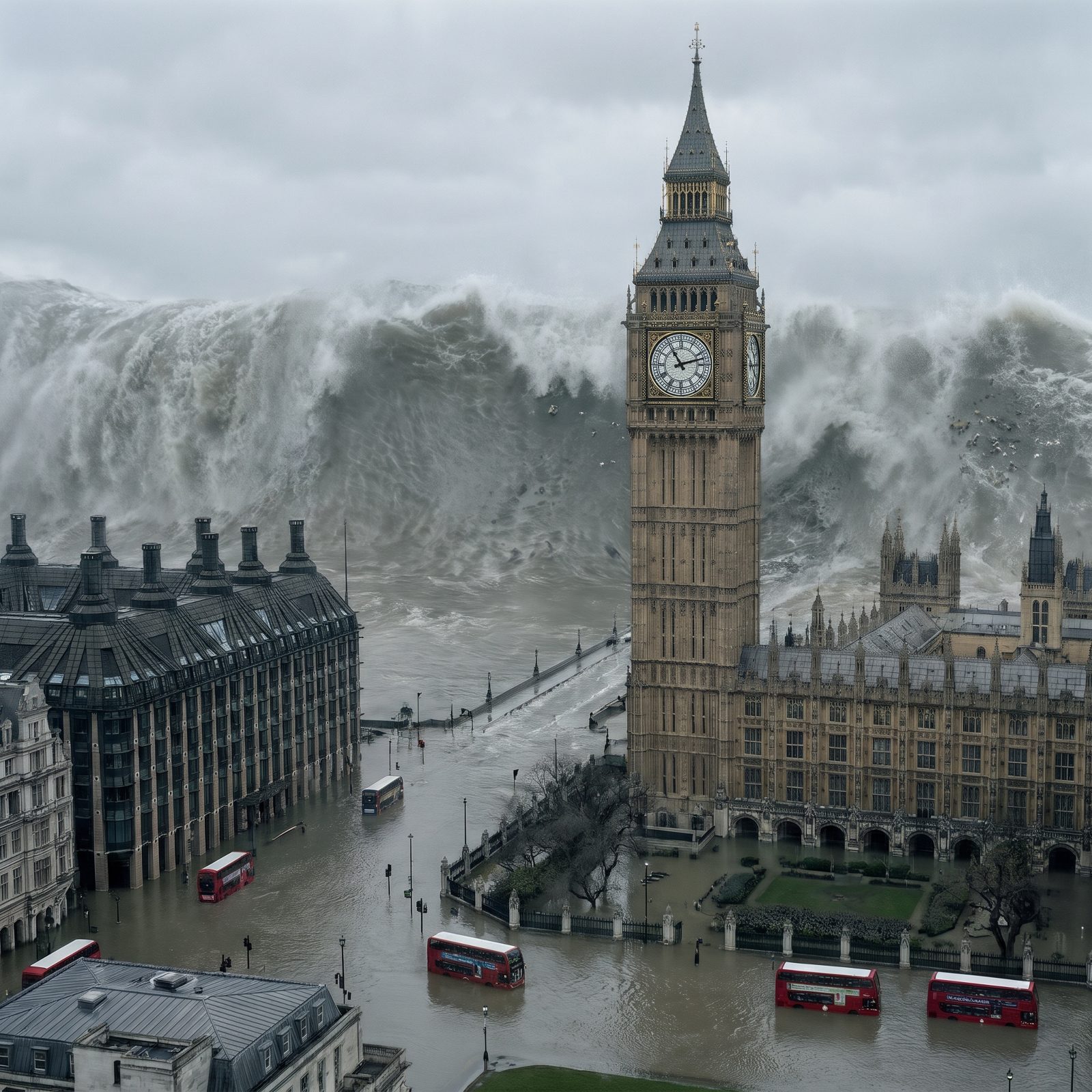
London sits 40 miles inland from the open sea, which is what makes this image so strange to look at. A wave only reaches Big Ben by surging up the Thames estuary, funneled and amplified by the narrowing river.
That mechanism isn’t pure fantasy. London faces real flood risk, which is why the Thames Barrier at Woolwich exists: a row of steel gates that rise to block storm surges pushing up from the North Sea. It closes a handful of times most winters. As for the Elizabeth Tower, often called Big Ben after its great bell, it actually leans a touch, about half a meter off vertical, and has for years.
26. The Burj Al Arab Sail Hotel Against a Towering Gulf Wave
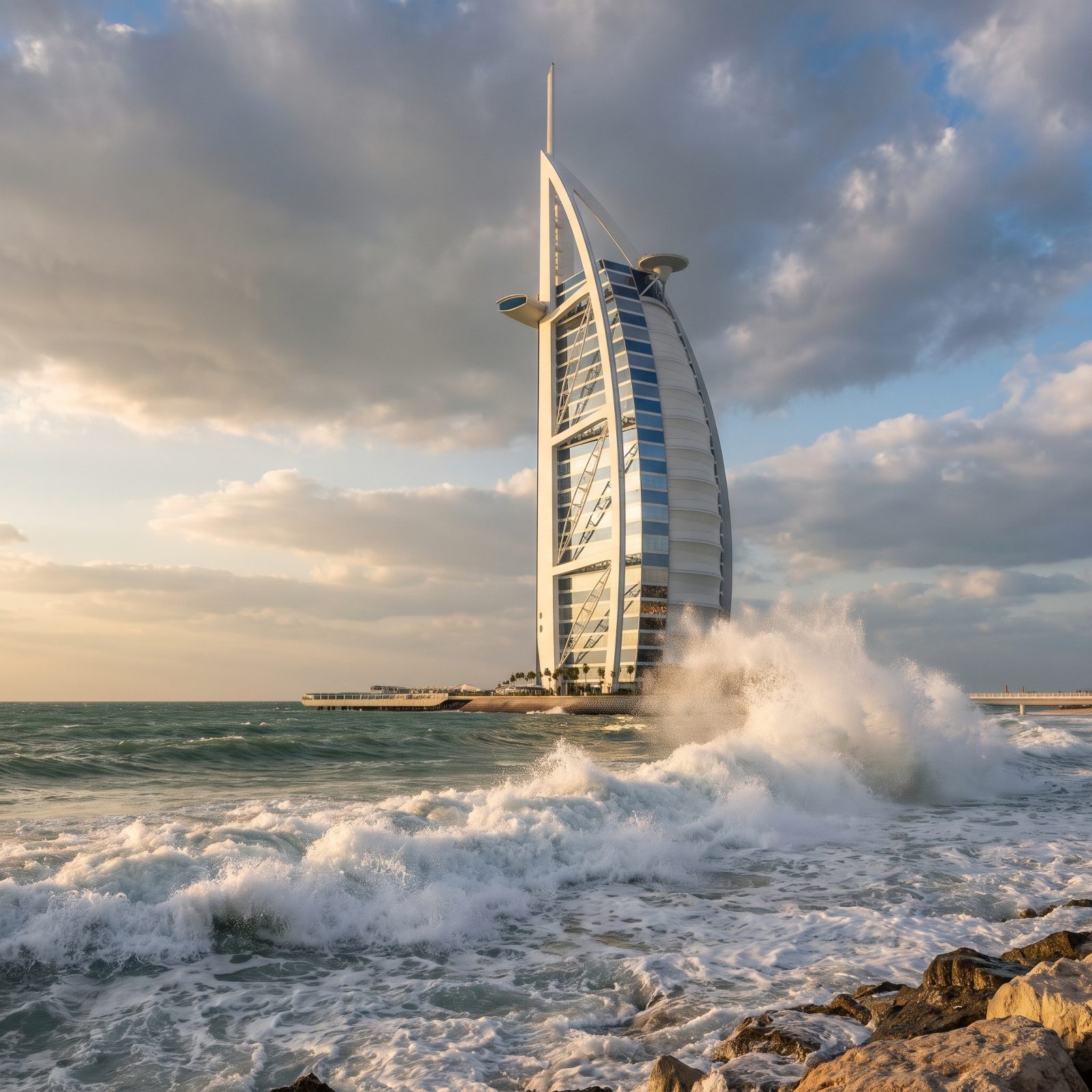
The Burj Al Arab stands about 1,050 feet, so here the wave only reaches about halfway up. For once the landmark out-scales the water, and it still looks doomed.
The Persian Gulf is shallow and semi-enclosed, which actually pushes a megatsunami here close to impossible in reality. The sail hotel sits on a long, flat platform stretching out to the left, with a straight elevated bridge off to the right that would vanish first. And that white sail isn’t glass, incidentally. It’s a woven Teflon-coated fiberglass membrane that lets daylight filter through.
25. Marina Bay Sands and Its Rooftop Ship Overtaken at the Waterline
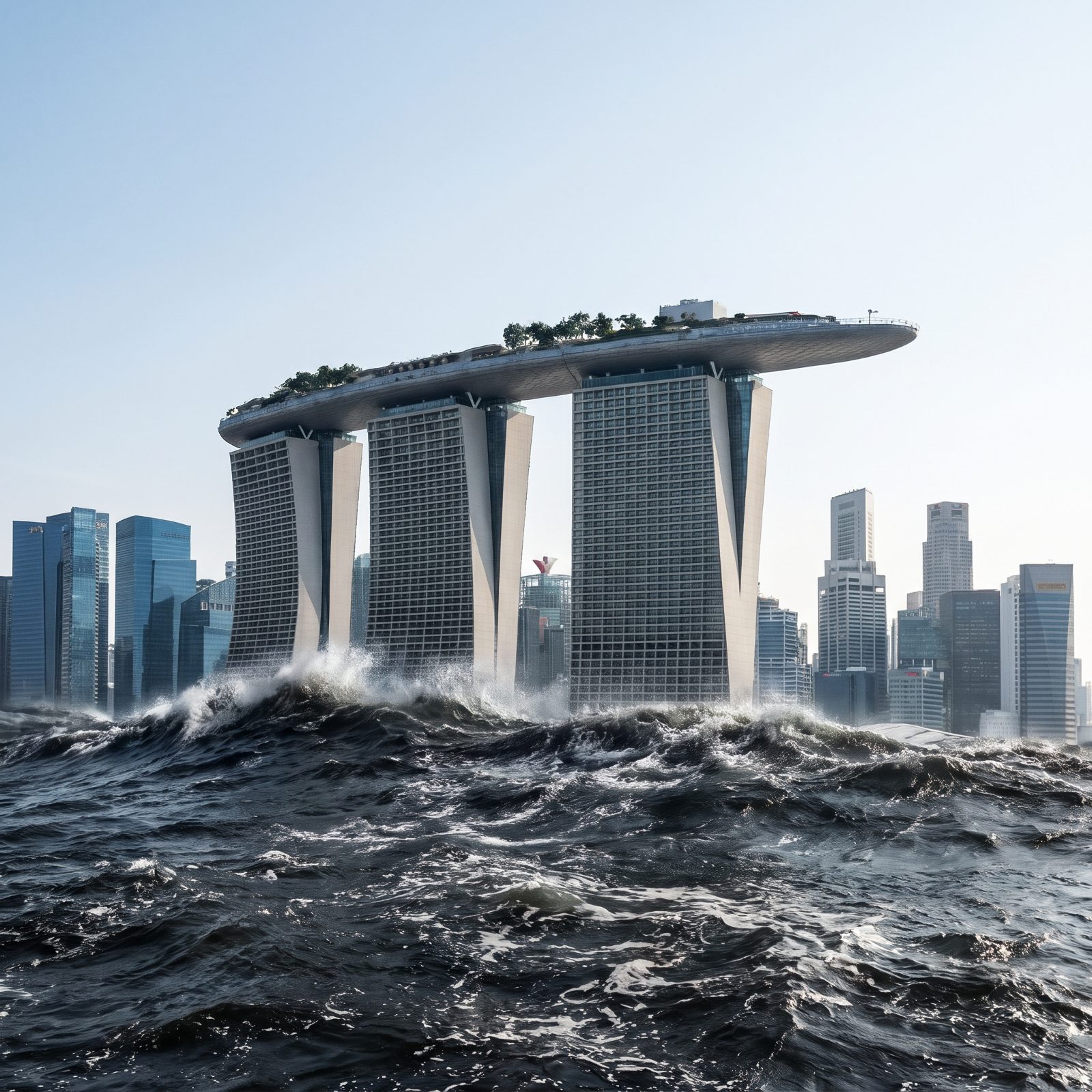
That boat perched across the three towers is the SkyPark, and it cradles an infinity pool 650 feet up. In this picture, swimmers would be peering far down at the curl of the wave as it smashes against the towers’ base.
Singapore occupies a sheltered position, largely screened from Pacific tsunamis by surrounding islands and shallow seas. The 2004 Indian Ocean disaster barely registered there. So a wave at this height is firmly hypothetical, which is a relief given that the hotel’s base sits almost at the waterline on reclaimed land.
24. Mont Saint-Michel, the Island Abbey, Facing Down the Sea It Already Fears
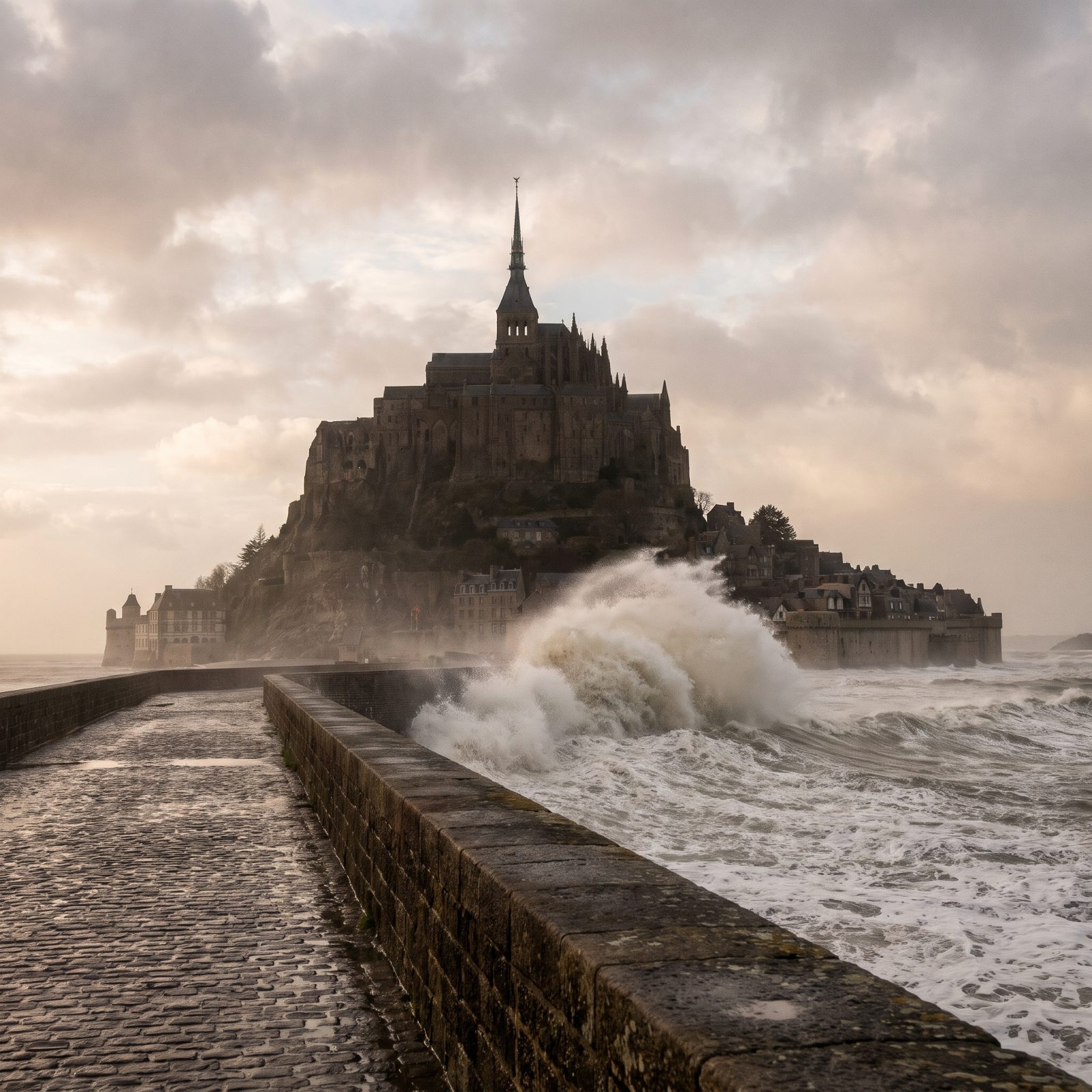
Of every landmark here, this one lives with the sea closest to the bone. Mont Saint-Michel sits in a bay with one of Europe’s largest tidal ranges, where the water can retreat for miles and come back, in the old warning, “at the speed of a galloping horse.”
The abbey climbs to a gilded spire about 300 feet up, crowned by a golden Archangel Michael, and a 500-foot wave would clear even that. The island has stood since the 8th century, outlasting tides, pilgrims, and sieges. A true megatsunami isn’t in its history. But the medieval monks chose this spot precisely because the sea made it nearly unreachable.
23. The Space Needle Rising Above a Wave Rolling In Off Puget Sound
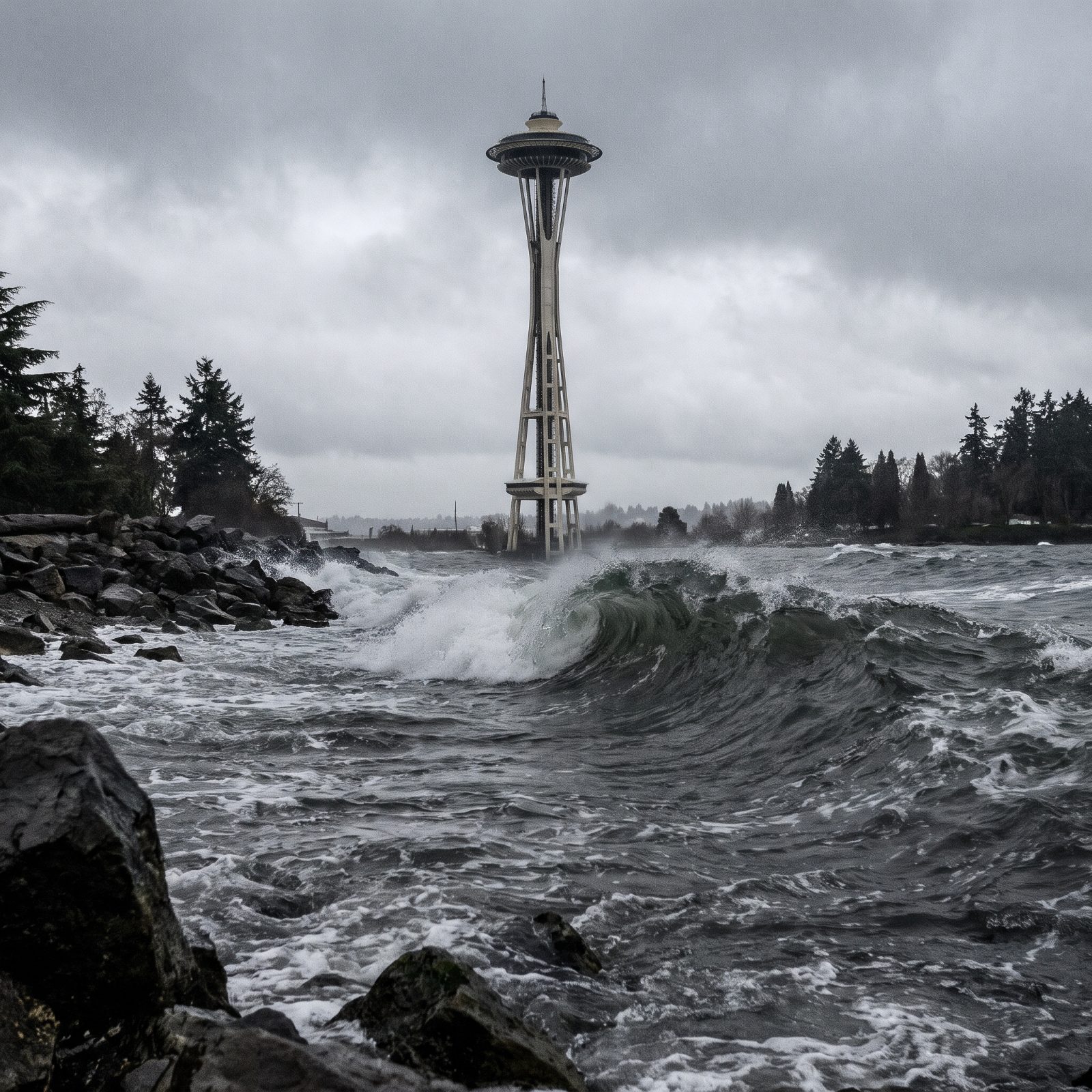
Seattle has the most legitimate claim on this entire list, and that’s what makes the picture sit in your chest.
Offshore lies the Cascadia Subduction Zone, a fault capable of a magnitude 9 quake. The last one ruptured in January 1700, sending a tsunami all the way to Japan, documented in Japanese records centuries before anyone connected the two coasts. Scientists widely expect another someday. The Needle is engineered to ride out major shaking, so it wouldn’t fall. But the shoreline below it is a mapped inundation zone for good reason. The tower rises 605 feet, so even this wave would top out below its saucer. Of everything we visualized, this is the one worth taking seriously.
22. Copacabana Beach Swallowed by a 500-Foot Wall of Water
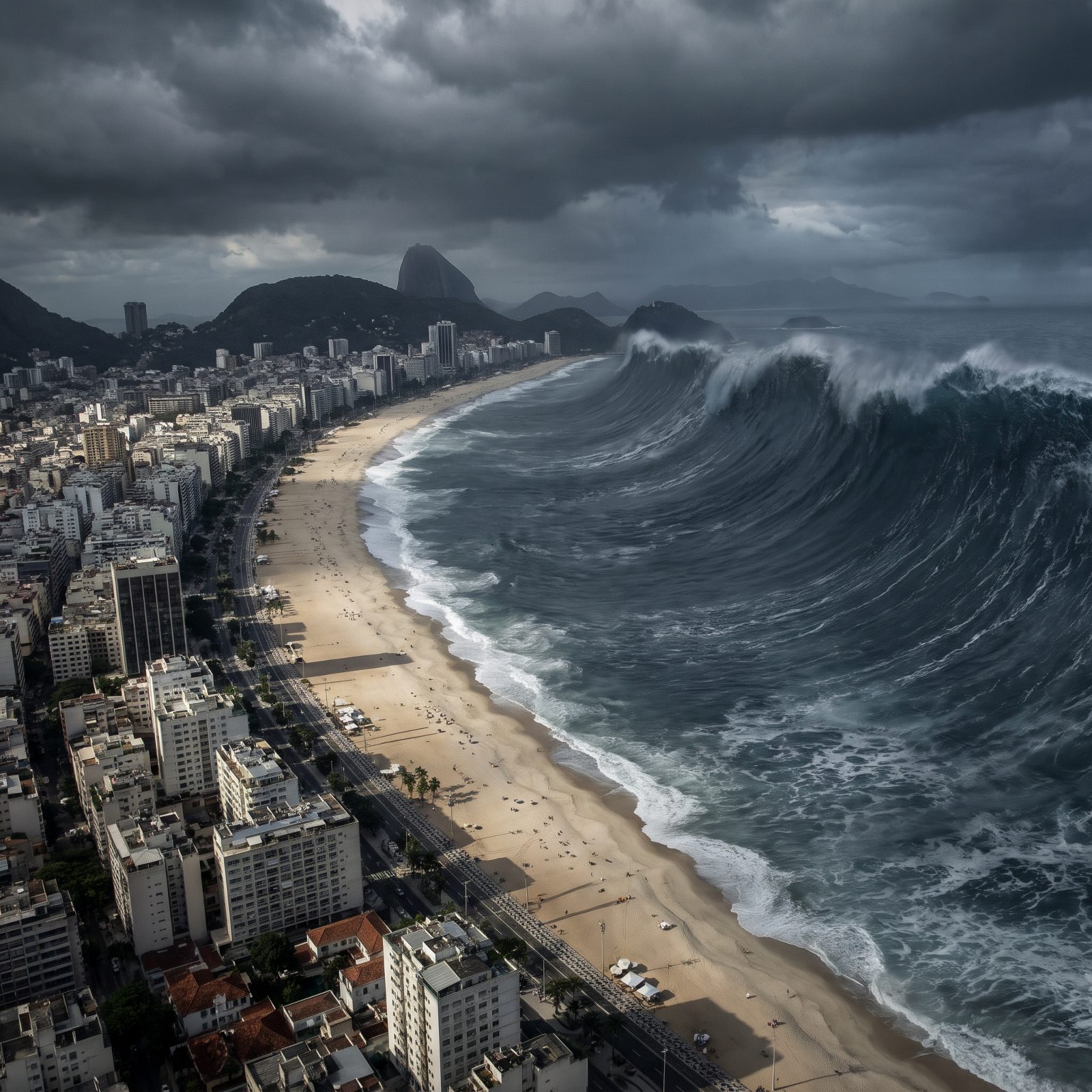
Copacabana’s crescent runs almost three kilometers of open Atlantic, and that’s precisely the problem here. A long, shallow, gently curving beach does nothing to slow a large wave — it funnels it straight at the hotels.
Brazil sits on a quiet tectonic margin, so a tsunami would more likely arrive from a distant source or a submarine landslide off the continental shelf than from any local quake. The record from this coast is modest. The visualization is fiction; the physics of why a flat beach offers no cover is not.
21. Venice’s Grand Canal Under a Mountain of Sea
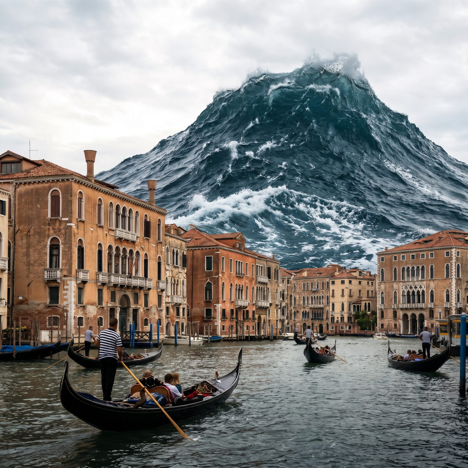
Venice drowning is not science fiction. The city floods several times a year, and the MOSE barrier system was built to hold back the real threat — the Adriatic tide, not a wall of water.
A genuine tsunami in a nearly enclosed sea like the Adriatic would behave oddly, sloshing back and forth like water tipped around a shallow bath. Scientists call that a seiche. And Venice sits barely above the waterline on wooden pilings hammered into mud centuries ago. The scenario is invented, but the vulnerability is the most real thing on this whole list.
20. The Bund in Shanghai Meets the Yangtze’s Fury
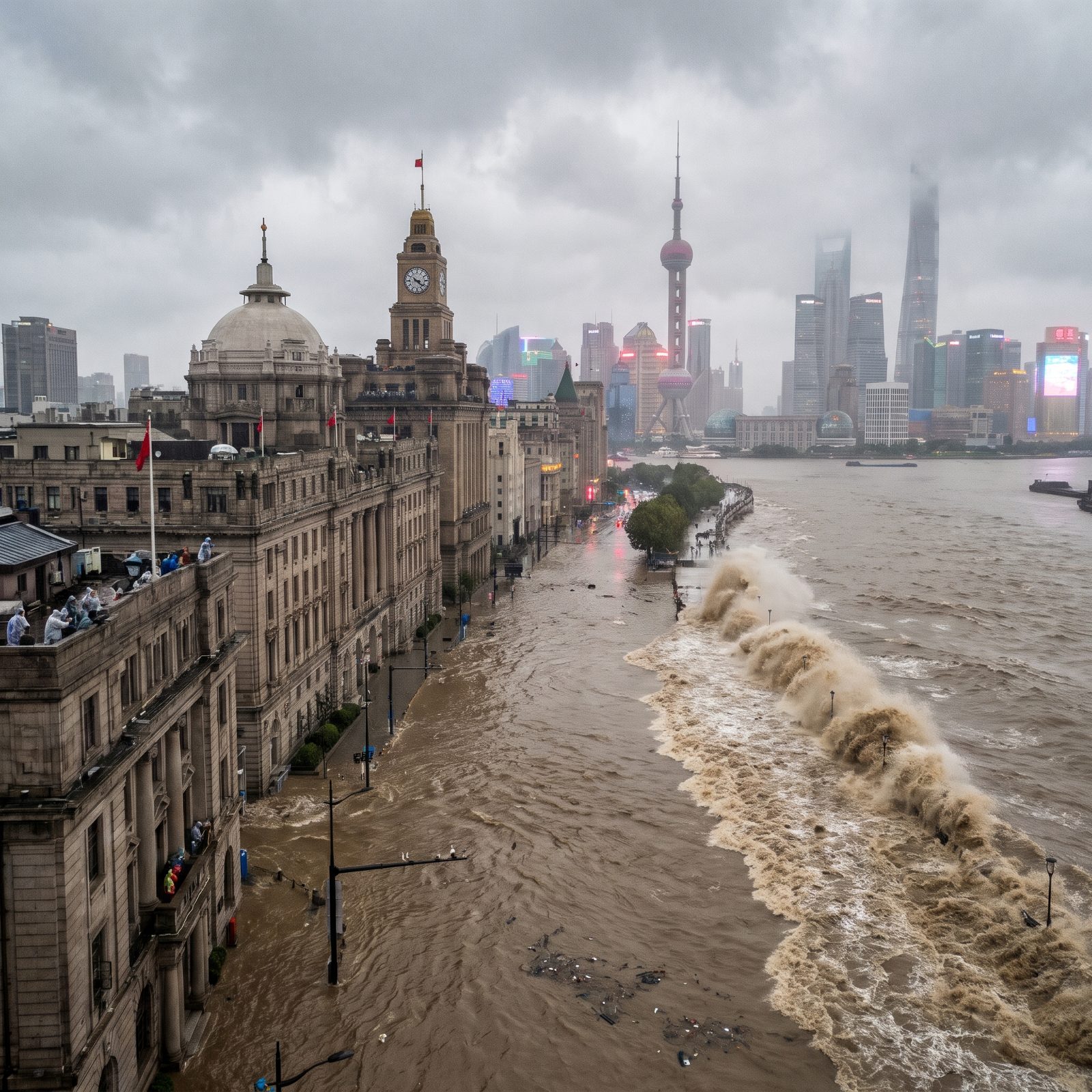
Twenty-four million people. An average elevation of about four meters. A coastline on the East China Sea. Shanghai ranks among the most storm-surge-exposed megacities anywhere, which is why a wave rolling up the Huangpu makes such a vivid image.
The city’s actual nightmare is the typhoon. The East China Sea is shallow and geologically calmer than the Pacific trenches to the east, so this illustration simply borrows the scale of fear that typhoons already deliver here every single summer.
19. Cape Town’s Waterfront Dwarfed Beneath Table Mountain
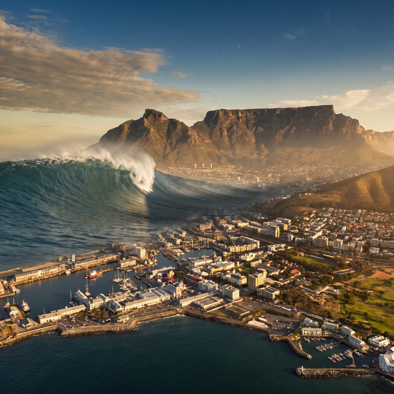
Cape Town watches two oceans collide near its doorstep, where the cold Atlantic shoulders into the warm Agulhas current. The result is some of the roughest natural seas on the planet — though a true tsunami is an entirely different beast.
Here’s the thing most people forget: the 2004 Indian Ocean tsunami, born of a quake off Sumatra, reached South Africa’s east coast and killed people thousands of miles from the epicenter. Table Mountain, at least, would offer high ground. Get uphill fast and you live. That part isn’t fiction.
18. Waikiki and Honolulu Facing the Pacific’s Worst
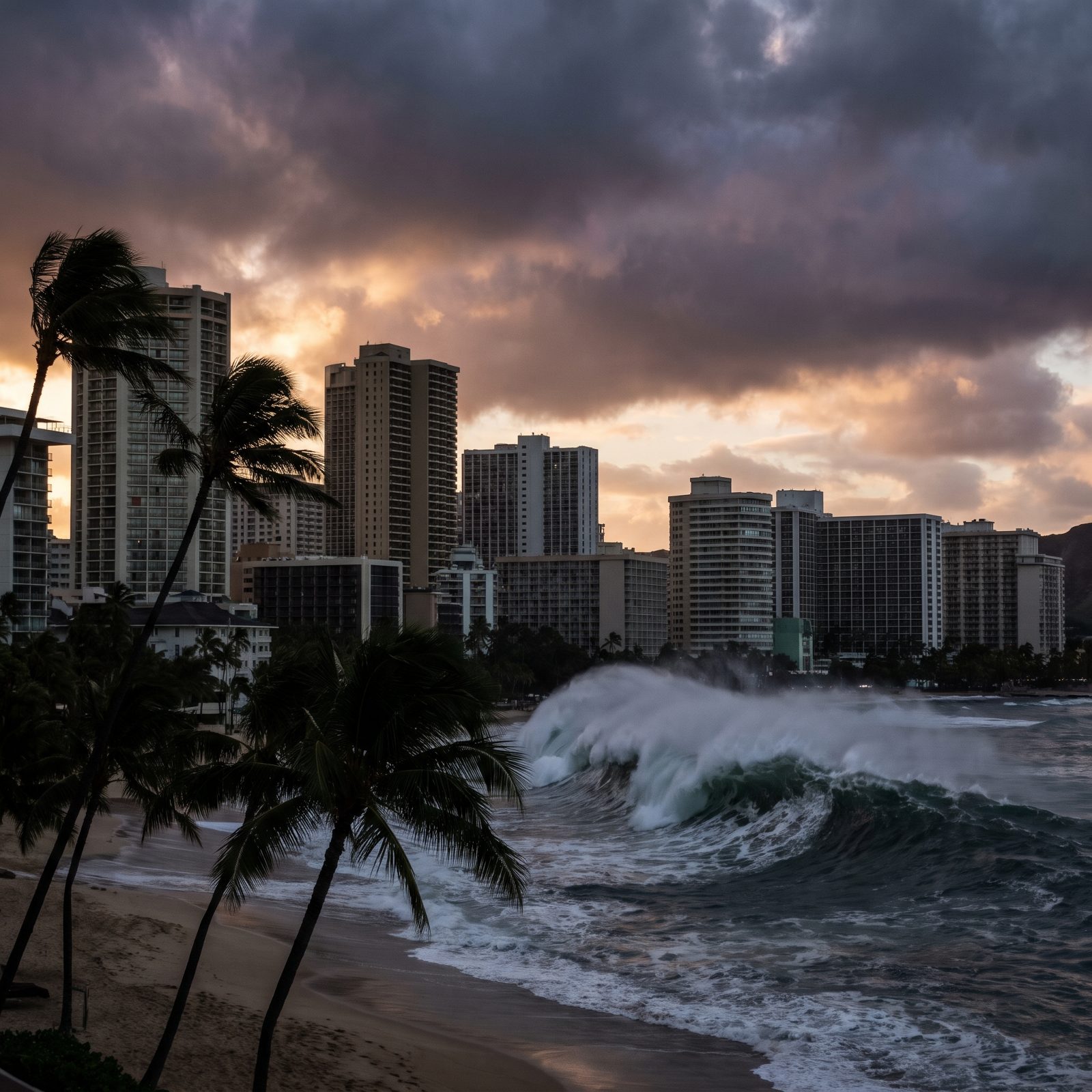
Hawaii does not need to imagine this one. It lives with it.
Honolulu runs monthly tsunami siren tests, and evacuation maps hang in every phone book on the islands. Back in 1946, a tsunami generated by an earthquake near Alaska’s Aleutian Islands slammed into Hilo on the Big Island with no warning and killed well over a hundred people. That disaster is the reason the Pacific Tsunami Warning Center exists at all.
17. Alcatraz Island Alone Against the Surge
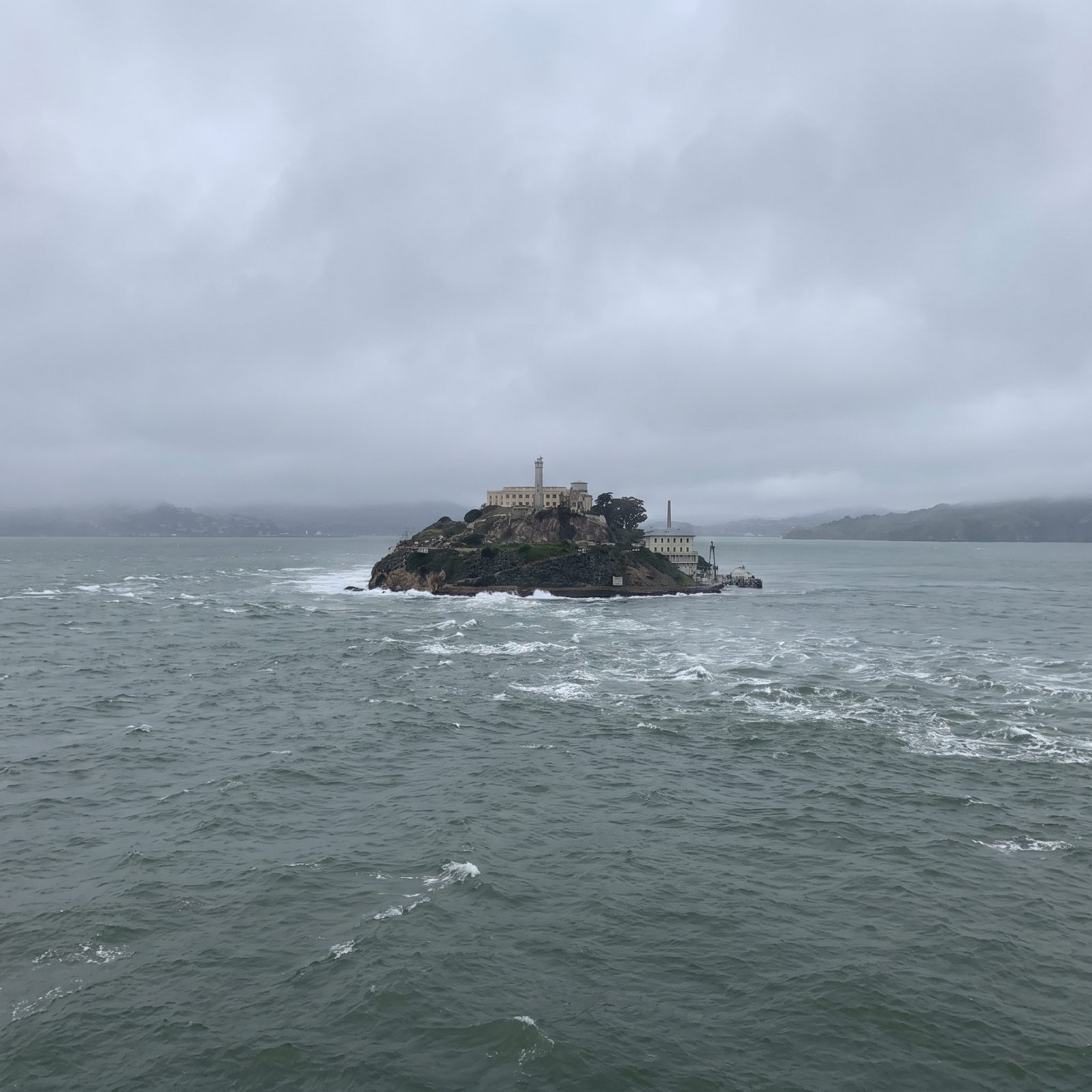
There’s something fitting about picturing a wave over Alcatraz — a place already defined by the very water that trapped the men inside it.
The Golden Gate is a narrow channel, and narrow channels amplify incoming waves by squeezing their energy into a tighter space. San Francisco Bay has logged small tsunami surges from distant Pacific quakes, among them the 2011 Tohoku event in Japan, which chewed up harbors as far away as Santa Cruz. The island’s isolation, so central to its grim history, would offer no escape at all. Nowhere to run on a rock.
16. Miami Beach’s Art Deco Row Overwhelmed
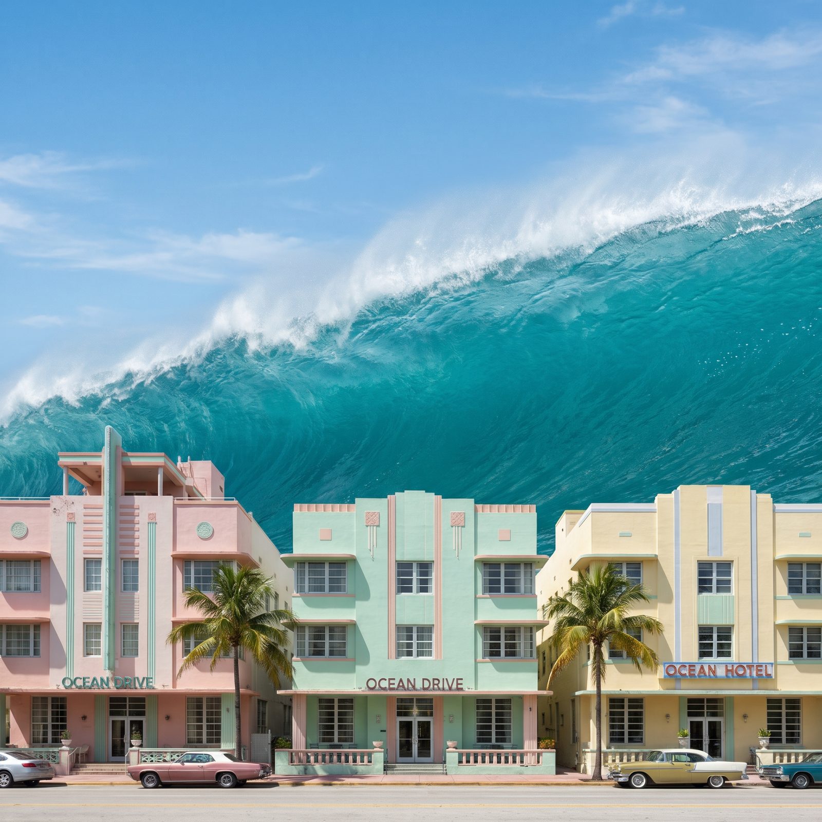
Miami Beach is a sandbar with hotels on it. That’s the whole uncomfortable truth.
The city averages roughly two meters above sea level, built on porous limestone that lets seawater seep up from below. It already floods on cloudless days during king tides. A tsunami would find nothing to stop it and no high ground to climb.
The Atlantic basin stays quieter than the Pacific, so a wave this size would probably need a far-off landslide or a volcanic collapse to get going. Improbable? Sure. Impossible? No.
15. Tower Bridge and the Thames Turned to a Torrent
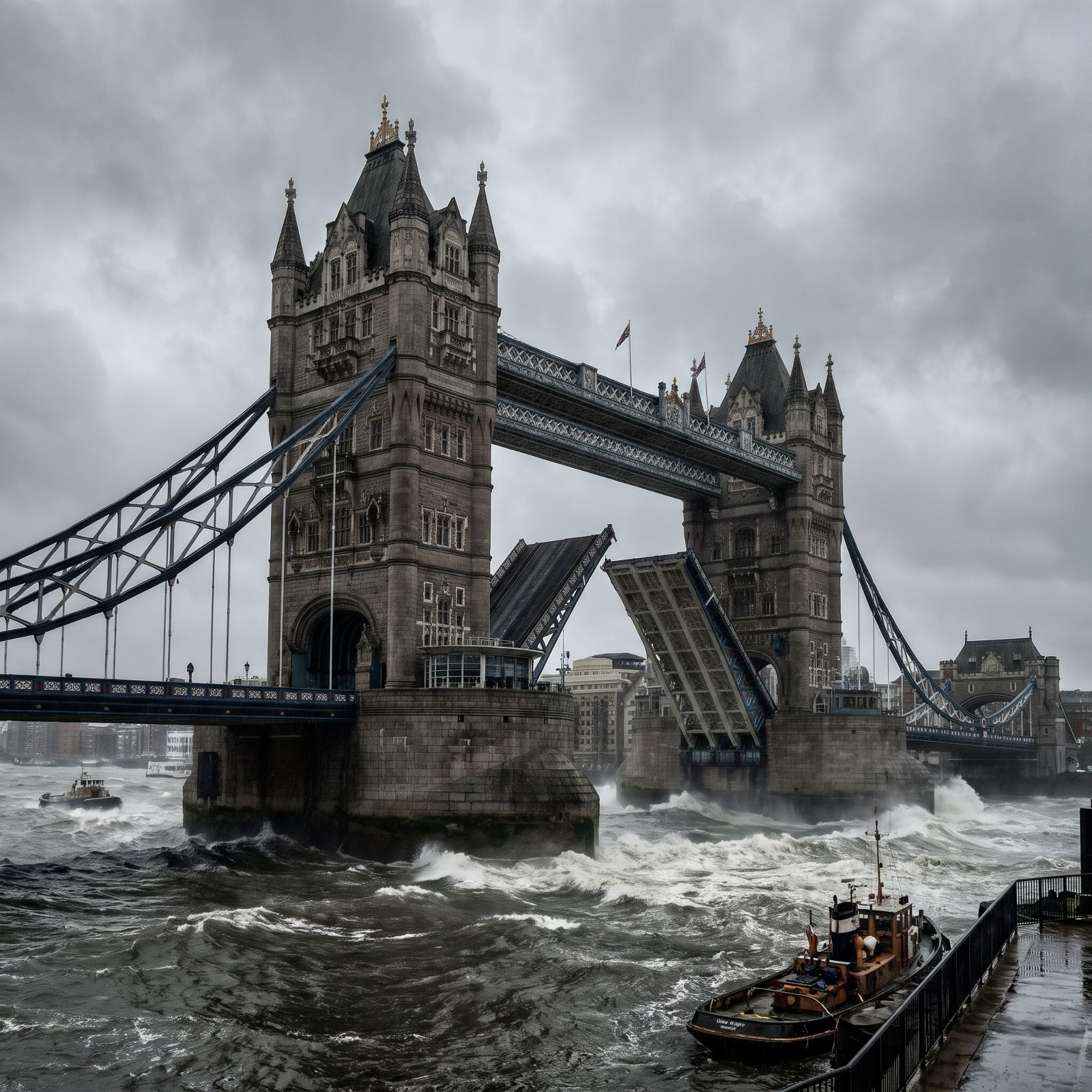
London’s real defense against the water is already standing. The Thames Barrier, finished in 1982, has risen hundreds of times to hold back North Sea storm surges from the capital.
A tsunami here is deeply unlikely — not unthinkable, though. The 1755 Lisbon quake pushed surges up the English Channel, and geologists have mapped evidence of a prehistoric wave that battered Scotland’s coast around 8,000 years ago, triggered by an underwater landslide off Norway known as the Storegga Slide. The Thames narrows and funnels as it winds inland, so any surge would gather force precisely where the city packs in tightest.
14. Lisbon’s Waterfront, Where It Really Happened Once
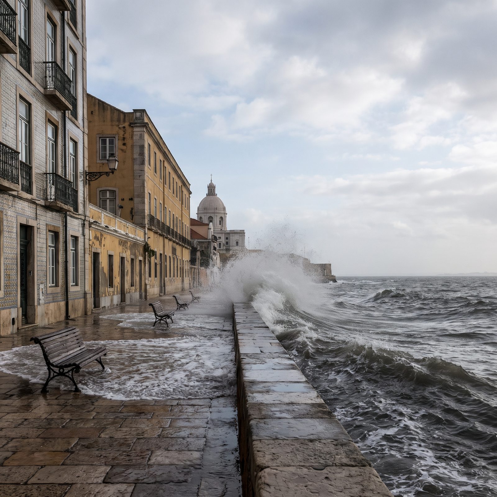
Then there’s Lisbon, the one place on this list where the nightmare already came true.
On the morning of November 1, 1755, a massive earthquake struck, and around 40 minutes later the sea drew back and returned as a wall of water.
Survivors who had fled the collapsing city toward the open riverfront were drowned by the tsunami. Between the quake, the waves, and the fires that followed, tens of thousands died. The catastrophe rattled European philosophy itself and helped launch the modern science of seismology. The wave in this image is imagined. The one that reshaped Lisbon was anything but.
13. The Acropolis Looking Down at a Wall of Water, Athens
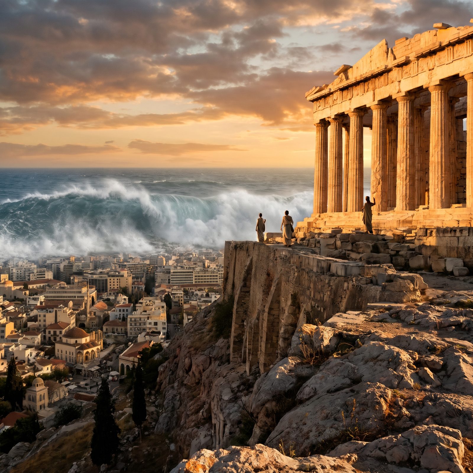
The Parthenon has stood for roughly 2,500 years, and it survived the night in 1687 when Venetian artillery touched off the gunpowder the Ottomans had stashed inside. It’s still there. A tsunami on this scale is pure invention, though. The Acropolis sits about 490 feet above the sea, which is exactly why the image feels so wrong — the water would have to climb the entire hill just to lap at the columns.
Real tsunamis do visit the eastern Mediterranean. The Hellenic Arc, a tectonic boundary just south of Crete, has been shrugging them out for thousands of years. Nothing remotely like this, mind you.
12. The Promenade des Anglais Vanishing Under a Dark Swell, Nice
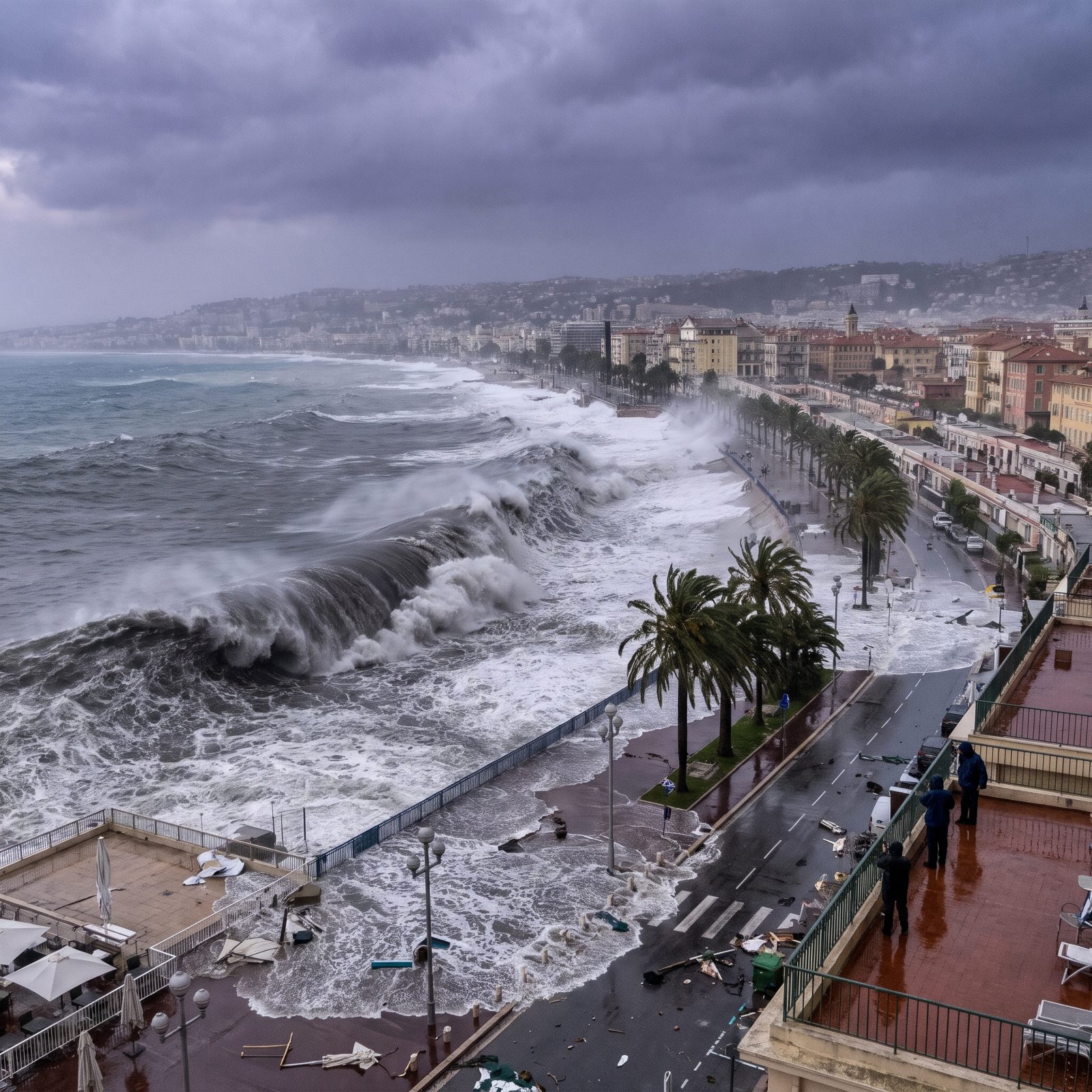
The Bay of Angels earned its gentle name honestly. Along the Côte d’Azur the Mediterranean is usually flat, warm, and tame enough that people keep swimming into October. Which is exactly what makes this picture land.
Here’s the real history that makes it less fantasy than you’d assume. In 1979 an undersea landslide near Nice airport, triggered during construction work, sent a genuine tsunami into the coast. It killed several people and startled everyone who’d assumed the Med couldn’t do that. The waves were a few meters, not 500 feet — but the mechanism was real, and it happened right here.
11. Brighton Pier Swallowed by a Black Channel Wave, England
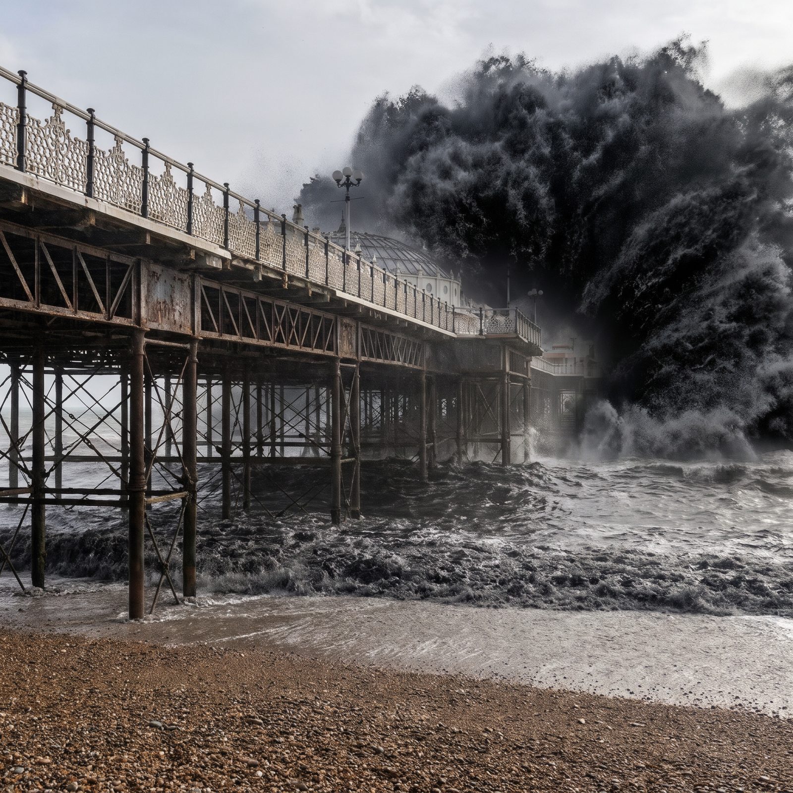
Brighton Palace Pier opened in 1899 and still carries its original cast-iron bones. It has outlasted both its sisters — the West Pier burned and collapsed into a rusting skeleton, and the Chain Pier was smashed by a storm in 1896, before the Palace Pier even finished.
So storms taking out Brighton piers? That part isn’t invented. The English Channel is shallow and the coast is soft chalk and shingle, so a real tsunami here is vanishingly unlikely. But the 1607 Bristol Channel flood on the other side of England killed thousands, and some scientists have argued it may have been a tsunami rather than just a storm surge. The debate’s still open.
10. The Niteroi Art Museum Dwarfed by an Atlantic Wave, Brazil
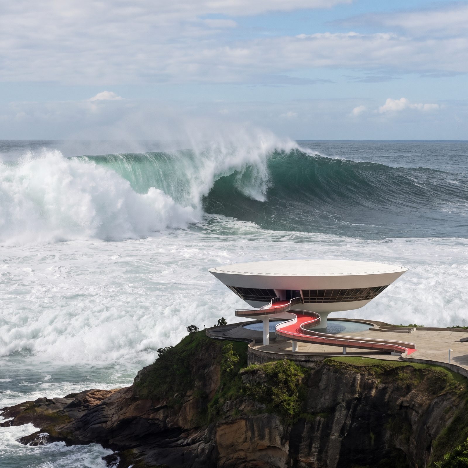
Niemeyer called it a flower rising from the rocks. Most people see a UFO that touched down on a Brazilian clifftop in 1996 and decided it liked the view. The museum juts out over Guanabara Bay on a single central column, the gallery hovering above the water like it’s about to lift off.
And that’s the whole reason the picture works. The building already looks like it’s defying the sea. Drop a wall of Atlantic behind it and the illusion snaps shut. The South Atlantic is seismically quiet next to the Pacific, so a tsunami this size belongs firmly to the imagination here.
9. Gyeongpo Beach Under a Wall of Dark Sea, South Korea
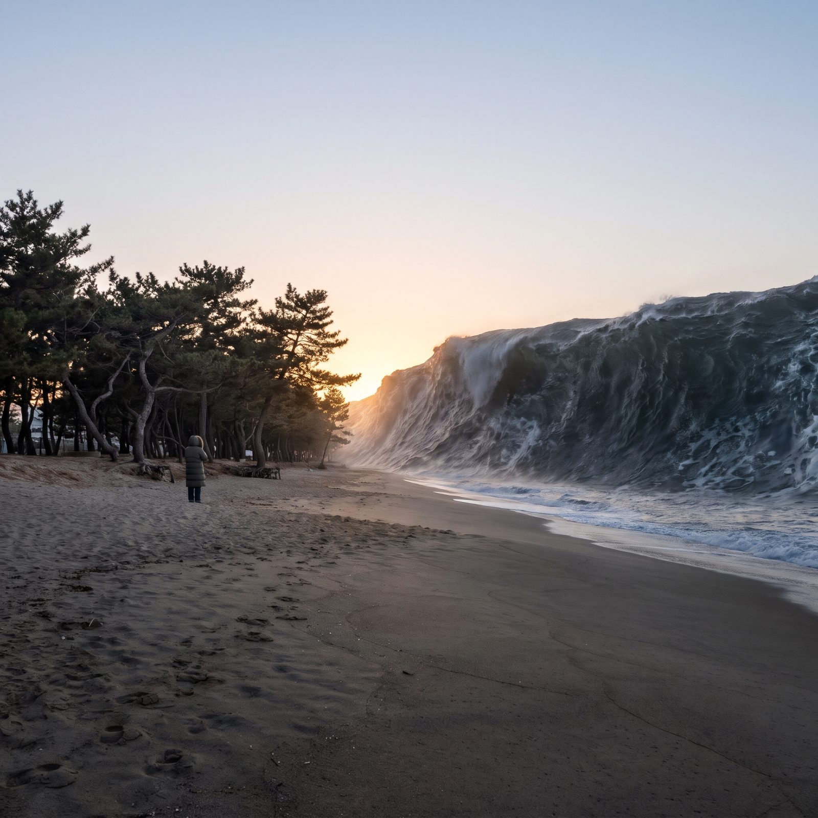
Gyeongpo is a quiet pleasure beach where people come for sunrise, raw fish, and the pine groves behind the sand. The East Sea out front, though, is the one Korean coast with a documented tsunami record.
In 1983, and again in 1993, undersea earthquakes off Japan flung tsunamis across to Korea’s east coast. The 1983 event killed several people here and wrecked fishing ports. The waves were a few meters — large enough to drown and destroy, nowhere near the cliff in this picture. The threat is genuine, which is why Korea keeps tsunami warning systems trained specifically on this shoreline.
8. The Great Buddha of Kamakura Facing a Black Wave, Japan
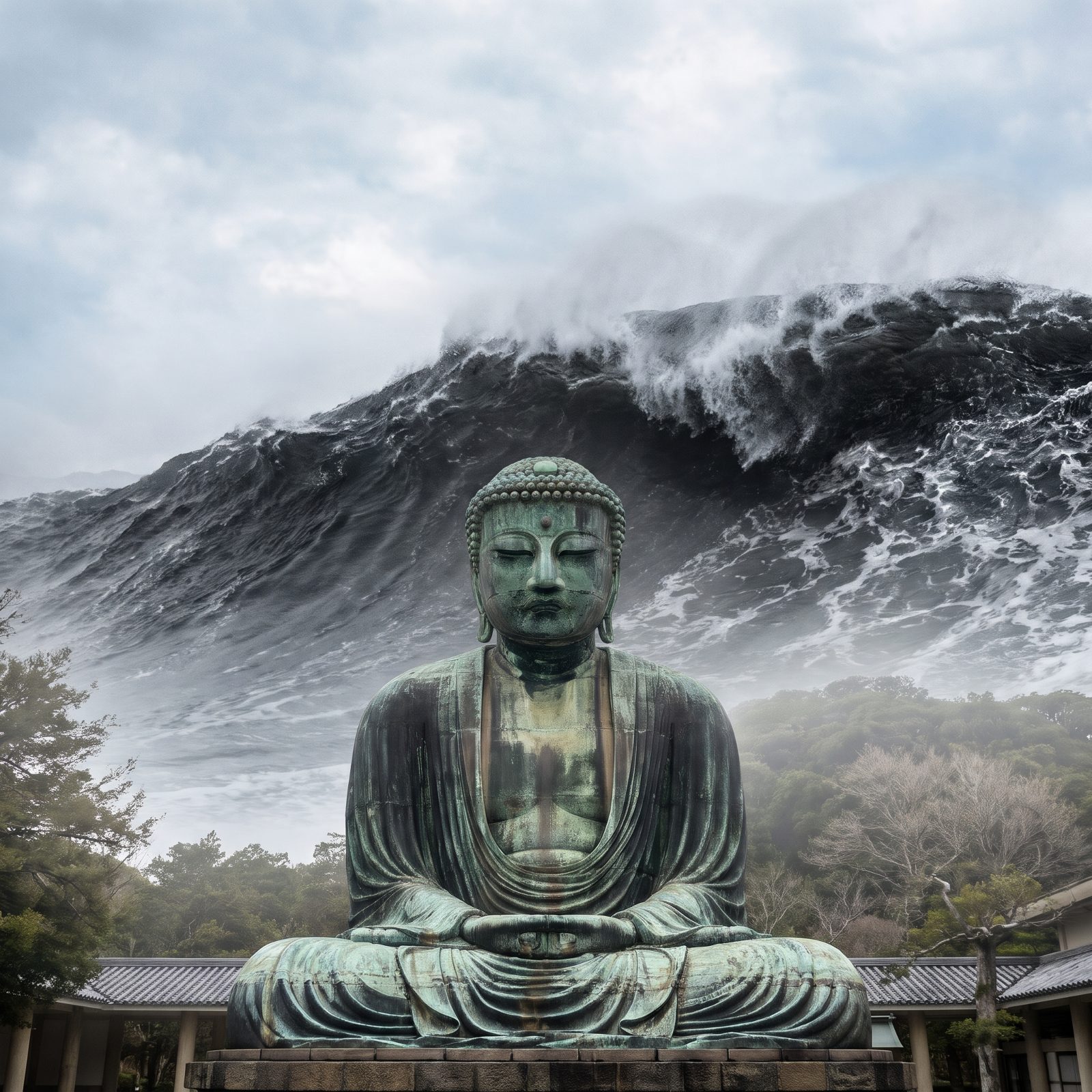
Here’s the part that stops people cold. The Great Buddha of Kamakura, cast in bronze in 1252, sits in the open air between low tiled-roof corridor buildings. Beyond them and the trees, a huge dark ocean wave rises into the open sky behind the Buddha, who sits unmoved.
The statue stands about 44 feet tall and weighs somewhere near 93 tons, and it sits calmly before the dark water curling behind it. A 500-foot wall is invention. A tsunami towering over these intact rooftops is just imagination.
The rooftops still stand beside it. The wave rises into open sky. The Buddha meditates in the open, unmoved.
7. Dubrovnik’s Old City Walls Behind a Towering Adriatic Wave, Croatia
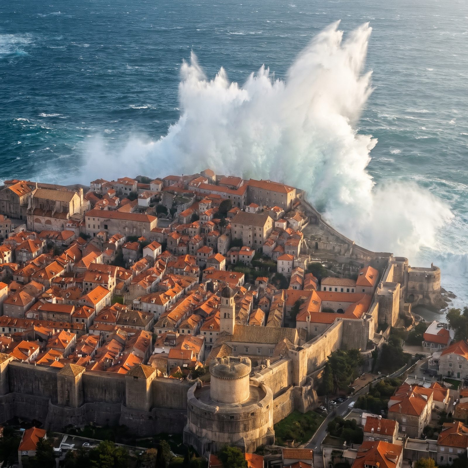
Those walls run up to 80 feet high and 20 feet thick in places, built and rebuilt from the 12th century onward to stop armies and cannon. Ordinary breakers crash against their base every stormy season, and the walls shrug them off — but the spray column in this picture towers hundreds of feet above them, dwarfing the walls and the entire city.
Dubrovnik knows catastrophe from below, though. A massive earthquake in 1667 flattened much of the city and killed thousands. The Adriatic can brew tsunamis too — a 1979 quake off Montenegro produced one, and Croatian researchers have logged small tsunamis along this coast more than once. The wave in the picture is no ordinary storm swell. The geology under it is anything but peaceful.
6. The Cape Point Lighthouse Over an Ocean Wall, South Africa
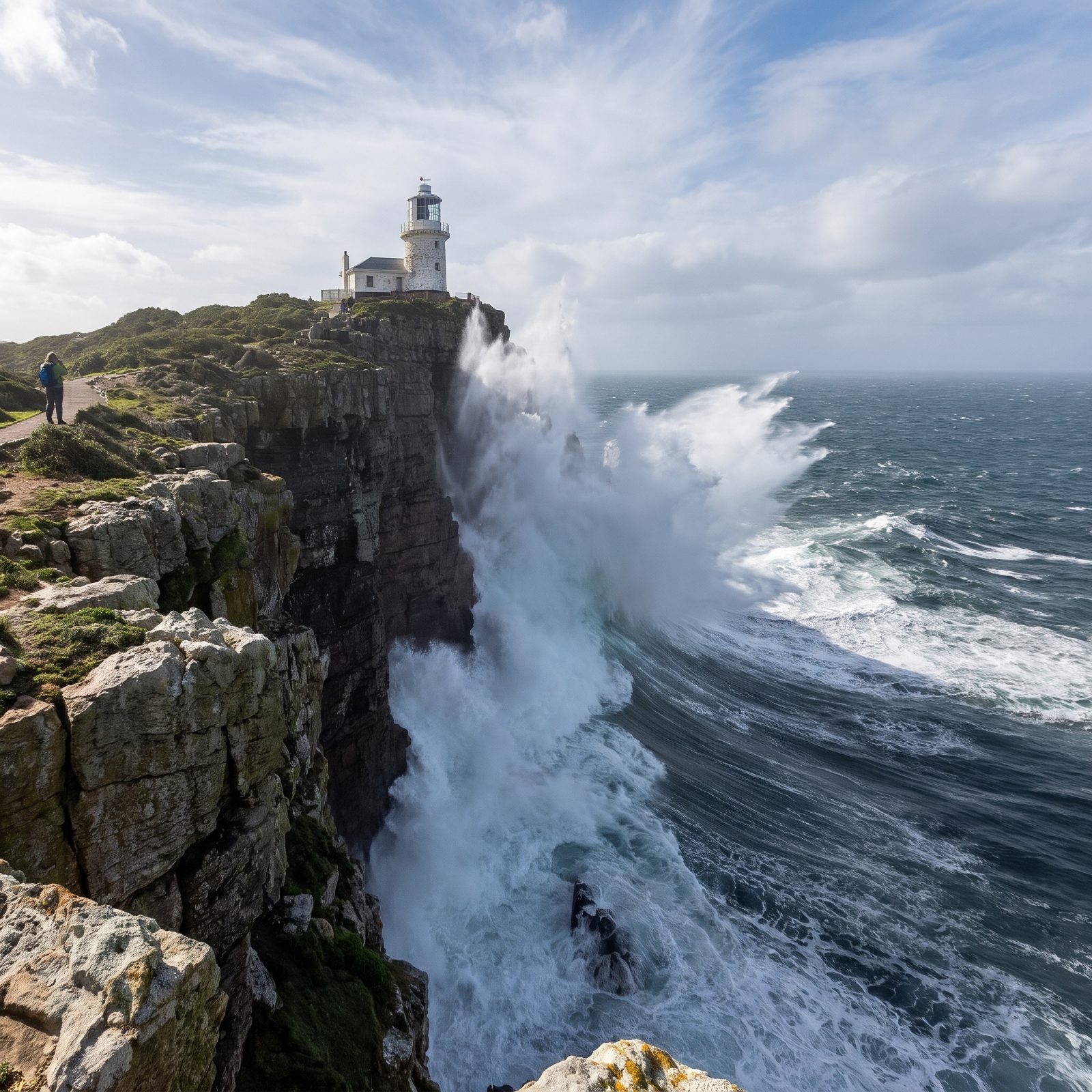
Cape Point is where the cold and the wild meet the rock. The old lighthouse, built in 1860, stands so high on the cliff, about 238 metres above the sea, that it was often buried in cloud and fog and ships kept wrecking anyway. They finally built a new one in 1919 so sailors could actually see it.
This is genuinely violent water. The Cape of Good Hope earns its reputation with freak waves and storms that have swallowed real ships. Rogue waves topping 100 feet have been recorded out here, which is terrifying and completely true. A 500-foot tsunami climbing the headland is the invention. The ocean’s fury at the bottom of the frame is not.
5. Bondi Beach Under a Wall of Pacific Water, Australia
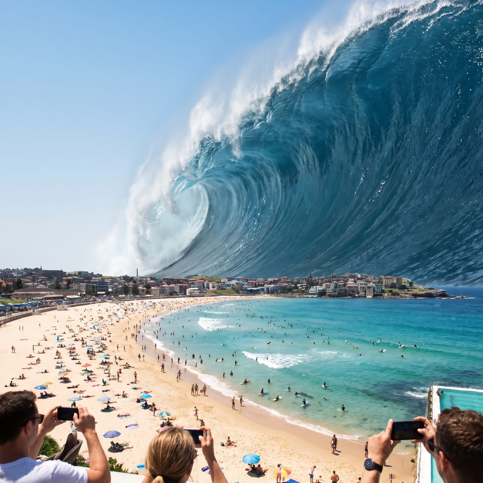
Bondi is a surf beach that already respects the water. Its rips drown people in waist-deep conditions, which is why the lifesavers in their red-and-yellow caps became a national institution, born right here in 1907.
Australia’s east coast does sit in range of Pacific tsunamis. The 1960 Chile earthquake — the biggest ever recorded — flung waves clear across the ocean that were measured on Australian shores a day later. They arrived as surges, not cliffs. The warning network watching for exactly this is real and active. And if a Pacific tsunami ever came for Bondi, the sea might not pull back first — the surf could keep breaking at normal levels right up until the wall arrived. An official warning is your cue to run inland and uphill, not to go look.
4. A 500-Foot Wall of Water Over Reykjavik Harbor, Iceland
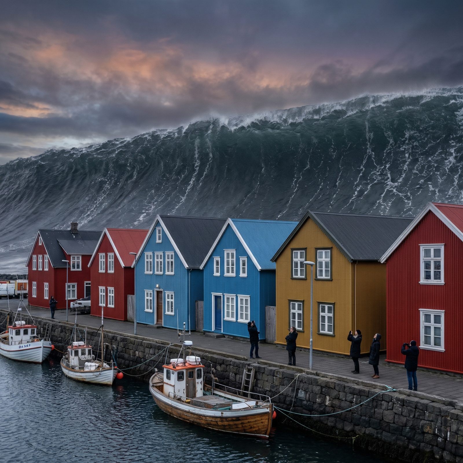
Iceland knows what the ocean can do. This is a country that watches the sea the way other places watch the weather.
Reykjavik sits low against the water, its harbor ringed by brightly painted trawlers and the glass face of Harpa catching the light. Now imagine a wall of Atlantic water rising higher than any building on the shore — and suddenly the whole city looks like a toy set out on a kitchen table.
The real science grounds it. Iceland straddles the Mid-Atlantic Ridge, pulled apart by two tectonic plates, and underwater landslides and volcanic collapse can shove enormous volumes of water around. Nothing on record has reached 500 feet here. But the geology that builds the island is the same geology that could, in theory, throw the sea back at it.
3. Blackpool Tower Swallowed by a Giant Wave, England
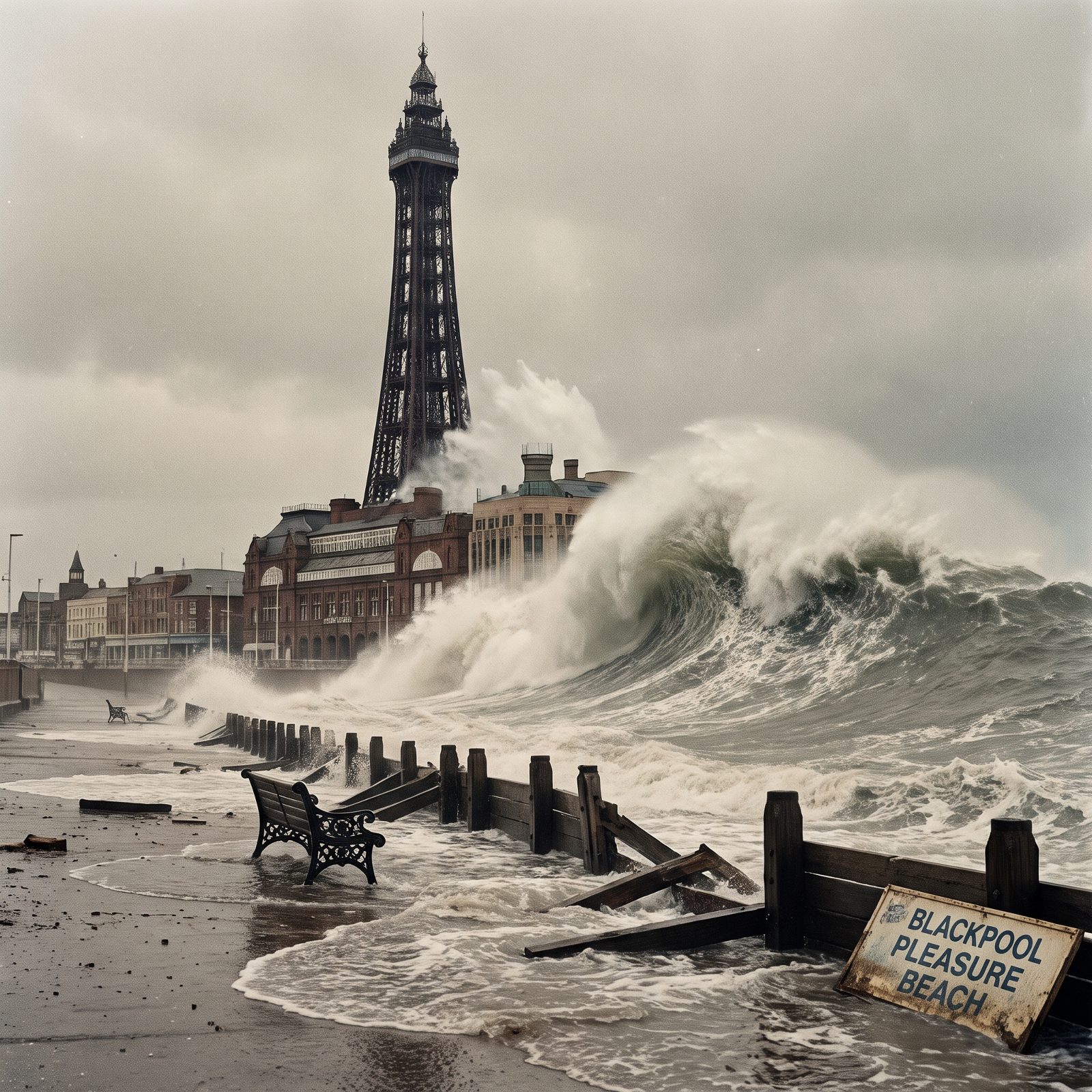
Blackpool Tower has stood since 1894, a half-height copy of the Eiffel Tower built by people who wanted a seaside landmark and got one. It’s 518 feet tall, which means a 500-foot wave would come within a few dozen feet of its top.
That’s the gut-punch of this image. The tower defines the whole Lancashire coast — the thing you can see from miles out at sea — and here the surge swallows nearly all of it.
Now the honest part. The Irish Sea is shallow and enclosed, which actually works against monster tsunamis. Britain’s biggest documented wave came from the 1755 Lisbon earthquake, which sent surges of a few feet up the Cornish coast. A wave that size? Pure what-if, nothing a forecaster would touch.
2. The Atlantic City Boardwalk Beneath a Towering Surge, New Jersey
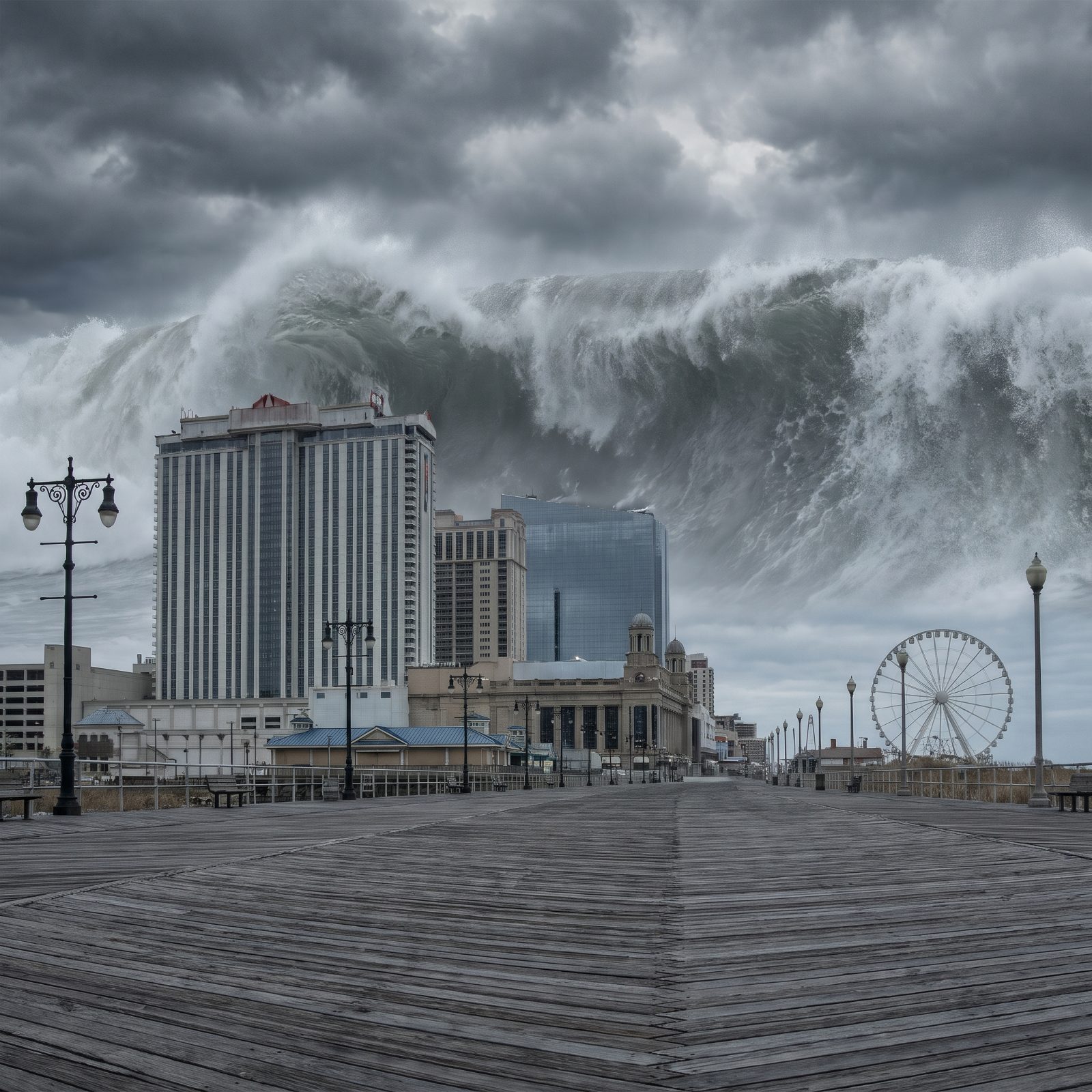
You know the Atlantic City boardwalk — wooden planks, salt air, casino towers crowding the sand, the slow squeak of a rolling chair. In this scene, all of it sits in the shadow of a wave taller than the tallest hotel on the strip.
And this one hits closer to real than most on the list. Scientists have flagged a genuine long-shot threat to the US East Coast: a possible flank collapse of the Cumbre Vieja volcano in the Canary Islands. The lurid 1,000-foot mega-tsunami version gets a lot of play, but most researchers consider it unlikely and badly overhyped. A smaller transatlantic surge is the more sober worry.
Jersey has already learned its lesson the ordinary way. Superstorm Sandy, back in 2012, tore chunks of boardwalk clean off their pilings.
1. Hong Kong’s Victoria Harbour Dwarfed by a Mega-Tsunami
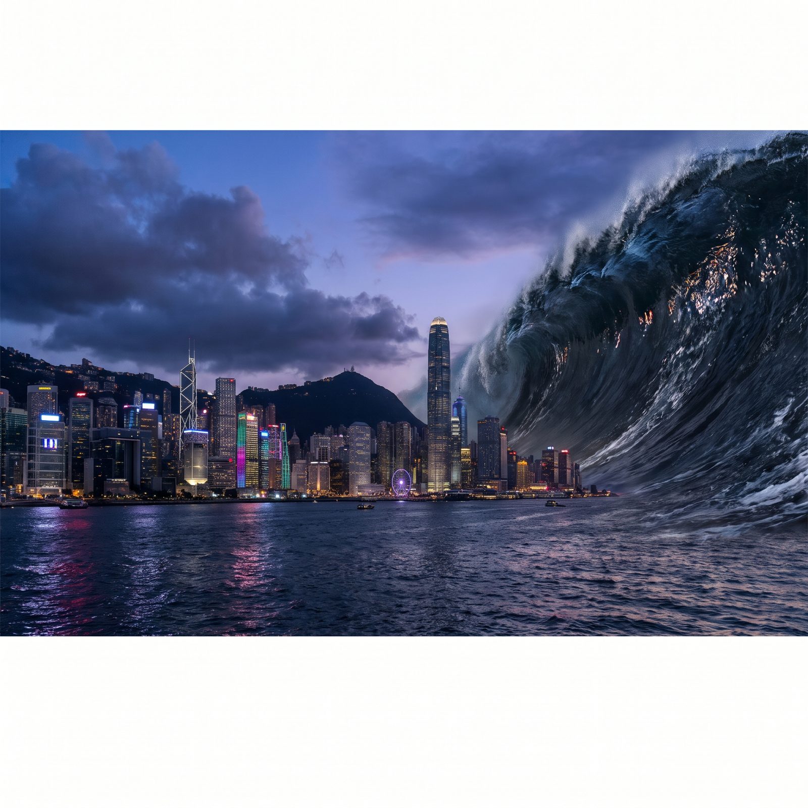
Victoria Harbour at night is one of the great skylines on Earth. Glass towers stacked along the water, the Star Ferry chugging across, a scatter of small boats glinting on the dark water. Now picture a wall of ocean rising behind all of it, higher than the lights.
The South China Sea is anything but idle geology. It holds the Manila Trench, a subduction zone that keeps seismologists up at night, because a major rupture there could fling a real tsunami at the densely packed coasts of southern China and the Philippines. Worst-case models suggest waves of several meters — catastrophic for a low-lying harbor city.
Not 500 feet, though. That number belongs to asteroid strikes and the sort of volcanic collapse that happens once in geological eras. The real threat is smaller. It still deserves your respect.