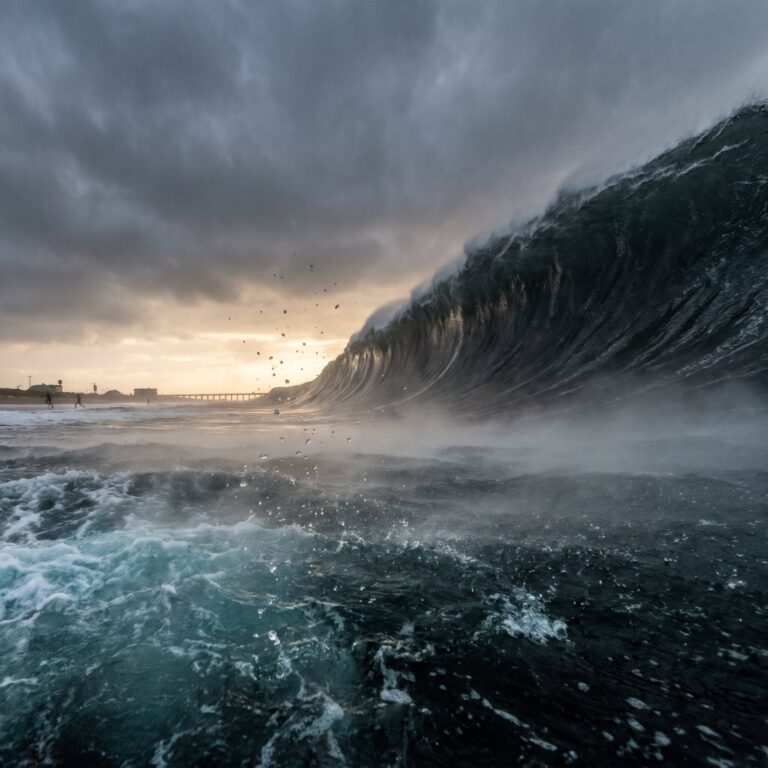
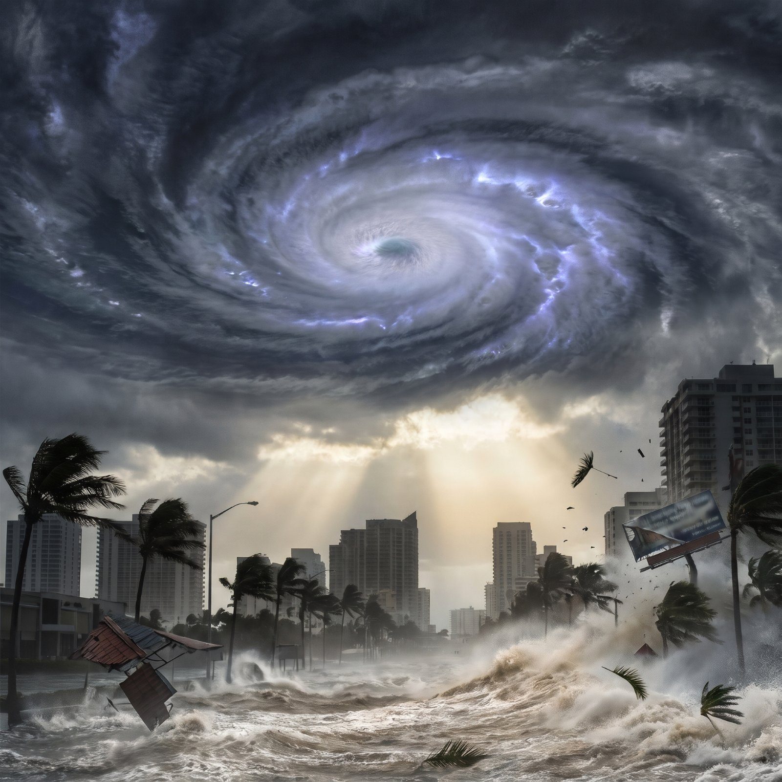
A Category 5 hurricane carries winds above 157 mph. That’s the number. The feeling is harder to put on paper, so we fed real skylines into an AI image generator and asked it to imagine the worst. Nothing below is a photograph of anything that happened. These are hypotheticals, built from physics we already understand: storm surge that swallows ground floors, gusts that fold street signs flat, rain measured in feet instead of inches. Some of these cities have genuinely stared down storms this big. Others sit squarely in the crosshairs and have simply gotten lucky. Here’s what the modeling, and the imagination, say could come.
38. Miami: The Glass Towers Meet the Eyewall
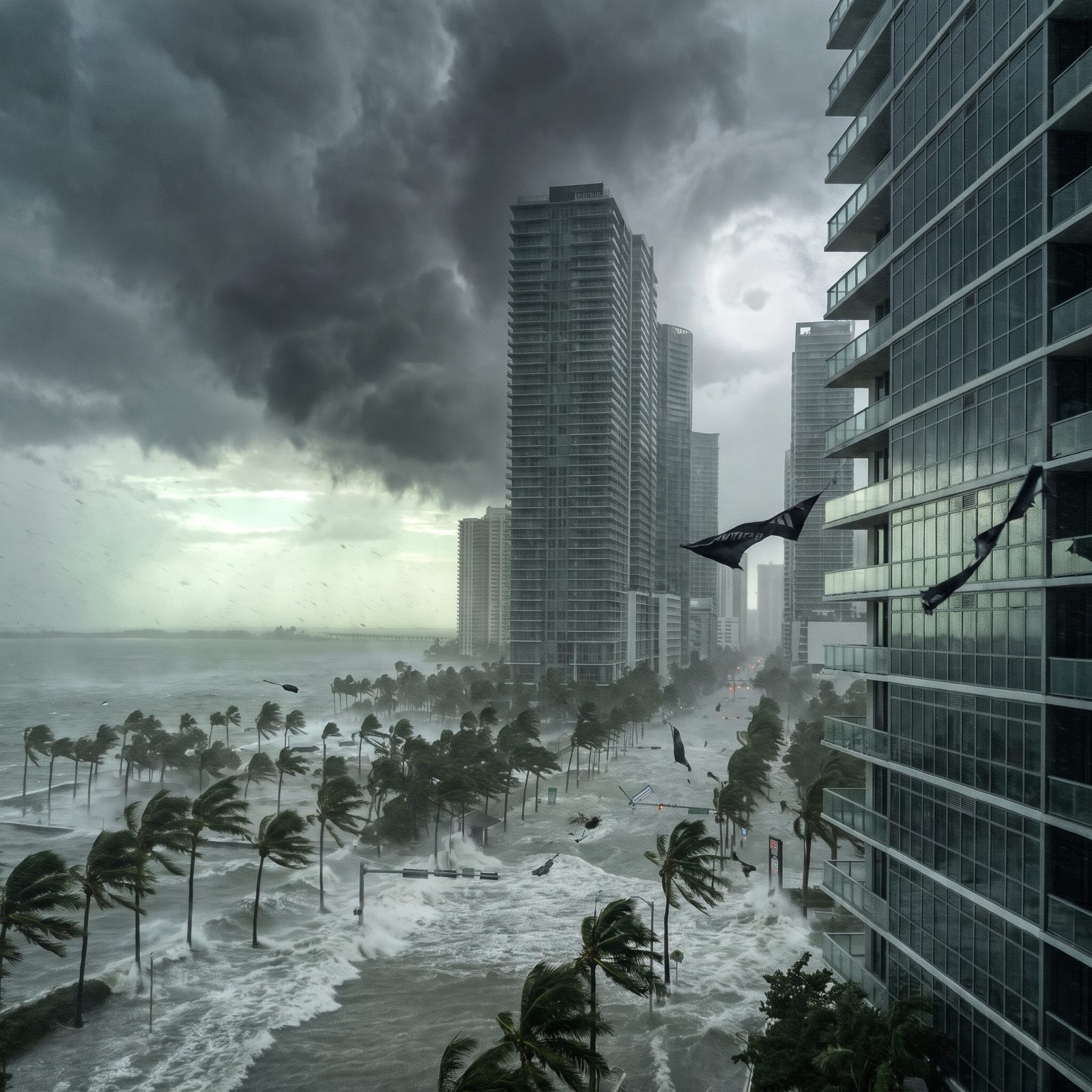
Miami has never taken a direct Category 5 hit in the modern high-rise era. Let that sit for a second. All that glass in Brickell went up during a historically quiet stretch of landfalls, and the 1926 hurricane that flattened the young city arrived before any of it existed.
The thing to fear is surge, not wind. Much of downtown sits only a few feet above sea level, so a Cat 5 push would send seawater through the ground floors of buildings engineered to survive the gusts but never meant to stand in the ocean.
37. New Orleans: A Bowl Below the Waterline
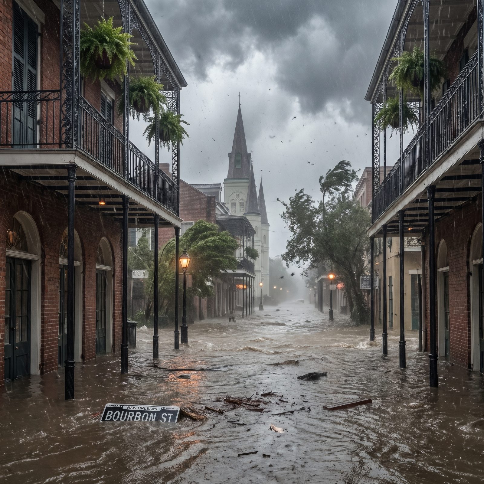
Half of New Orleans sits at or below sea level. It’s a bowl, ringed by levees and pumps, kept dry by engineering that only has to fail once.
Katrina in 2005 came ashore as a Category 3 and still killed more than 1,800 people when the levees gave way. The federal system has been rebuilt and hardened since then. A true Cat 5 would be a test nobody wants to run.
What the AI nails here is the quiet horror of water that doesn’t drain. Wind passes in hours. The flood stays for weeks.
36. Houston: Where the Rain Is the Monster
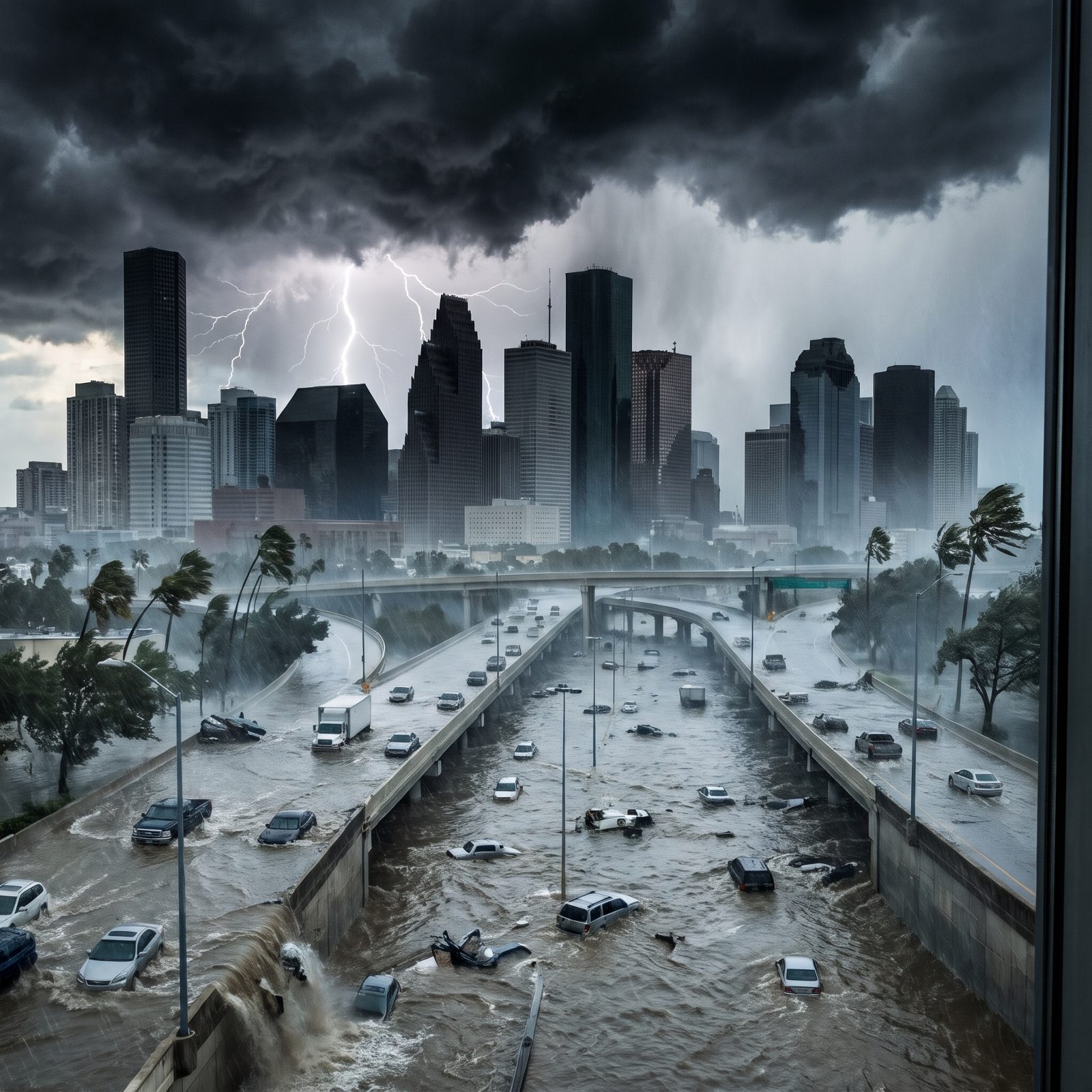
Houston’s danger isn’t the coastline. It’s the rain. Hurricane Harvey in 2017 stalled over the city and dumped more than 60 inches in places, a United States record for a single storm, and Harvey had already weakened to a tropical storm by the time it parked overhead.
Now picture a Cat 5 with that same habit of sitting still. The bayous overflow, the freeways become rivers, and sprawl that paved over natural drainage has nowhere left to send the water. Flooding reaches neighborhoods nobody in living memory has ever watched go under.
35. Tampa: The Overdue Bay Nobody Wants to Talk About
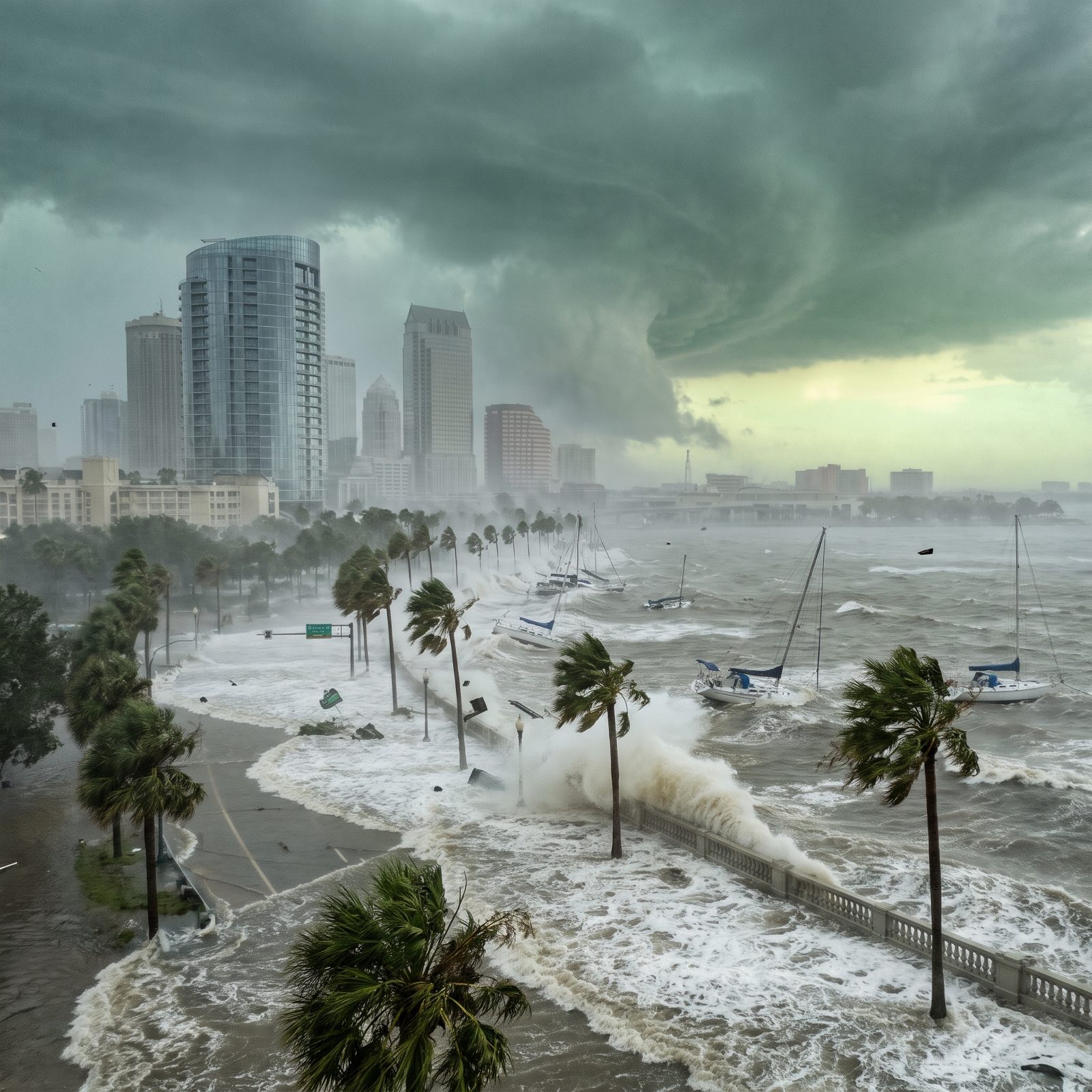
Tampa Bay is the storm meteorologists have quietly dreaded for decades. The bay is shallow and funnel-shaped, the worst possible geometry for surge, because water pushed in has nowhere to go but up and out across low, densely populated land.
The region hadn’t taken a major direct hit since 1921, a near-century of luck that recent close calls have badly strained. Models suggest a strong storm tracking just right could drive surge well past anything the modern city has ever seen.
34. Galveston: The Island That Already Learned the Hard Way
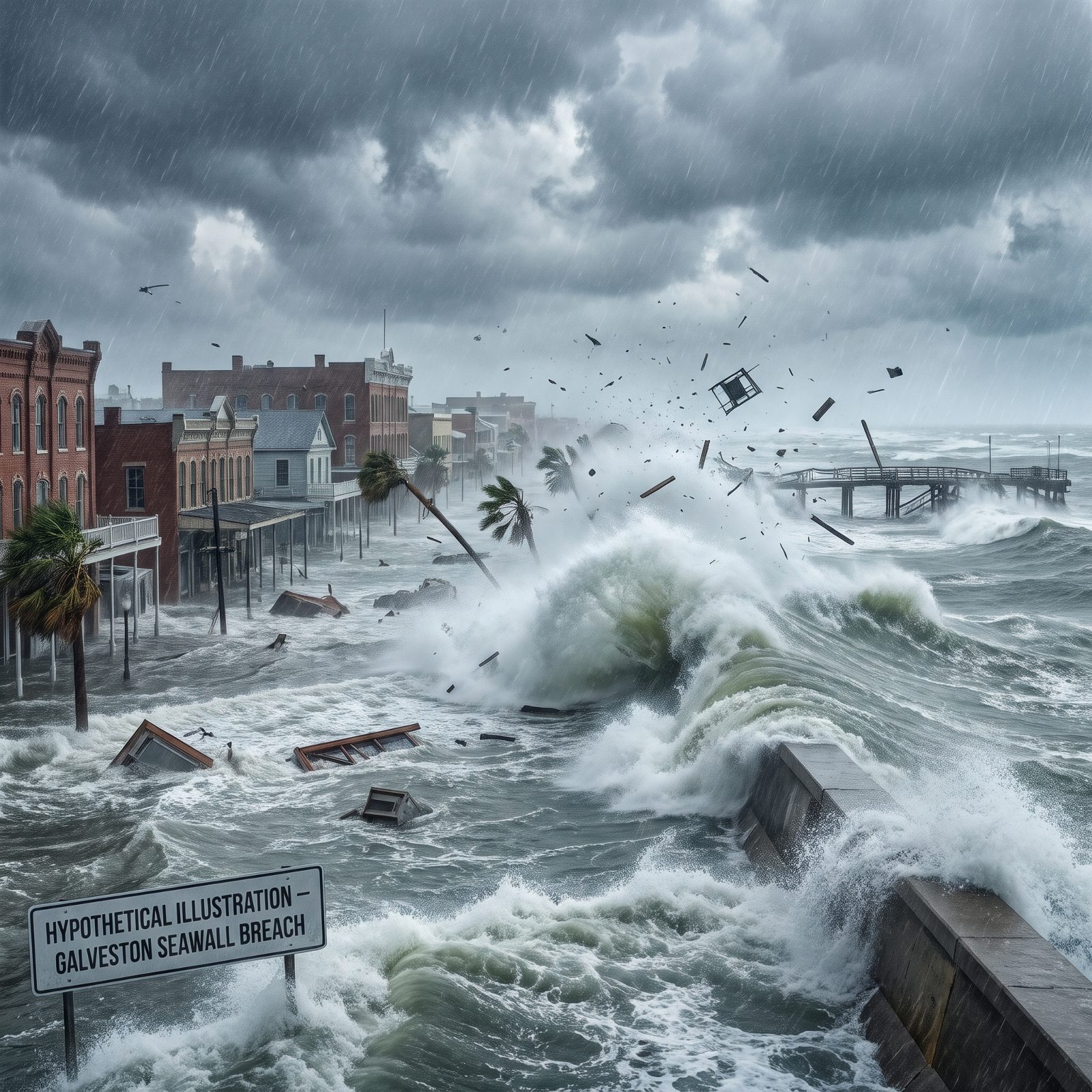
Galveston doesn’t need an AI to imagine catastrophe. The 1900 hurricane killed an estimated 6,000 to 12,000 people there, still the deadliest natural disaster in American history. The island answered by building a seawall and physically raising the entire city with dredged sand.
That seawall has saved Galveston more than once. But it was built for the storms of its era, and a Category 5 surge could overtop it. A barrier island is exactly what it sounds like: a sandbar with a town on it, sitting first in line.
33. Charleston: Cobblestones Under Saltwater
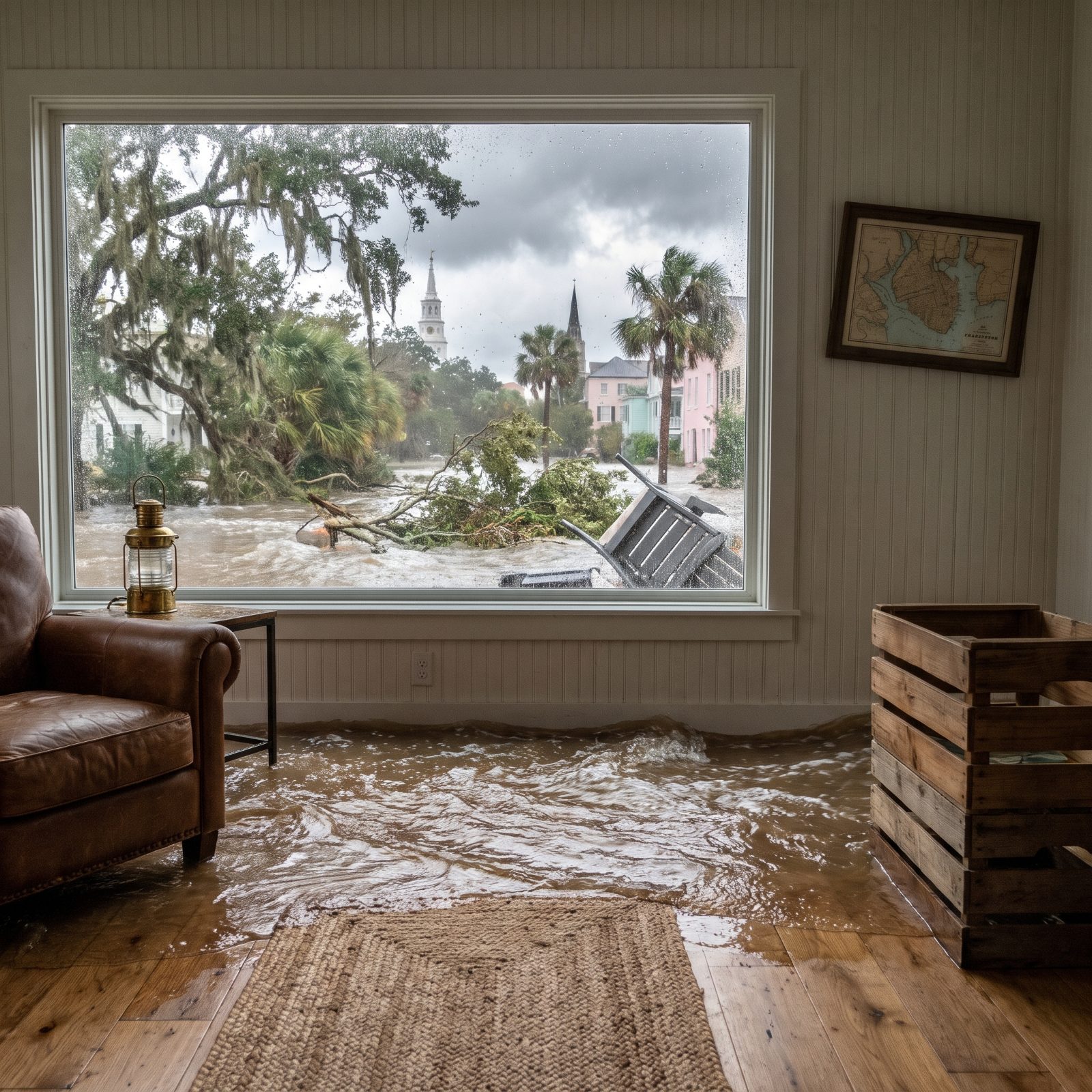
Charleston floods on sunny days now. High tides already shove water into the historic district a few dozen times a year, and that’s the baseline before a storm even forms.
Hurricane Hugo struck in 1989 as a Category 4 and reshaped the whole Lowcountry. A Cat 5 arriving at high tide would send the Atlantic up streets laid down in the 1700s, through houses that predate the republic. The render leans hard into that contrast: colonial pastels half-drowned in gray water.
32. Havana: The Malecón Taking the Full Ocean
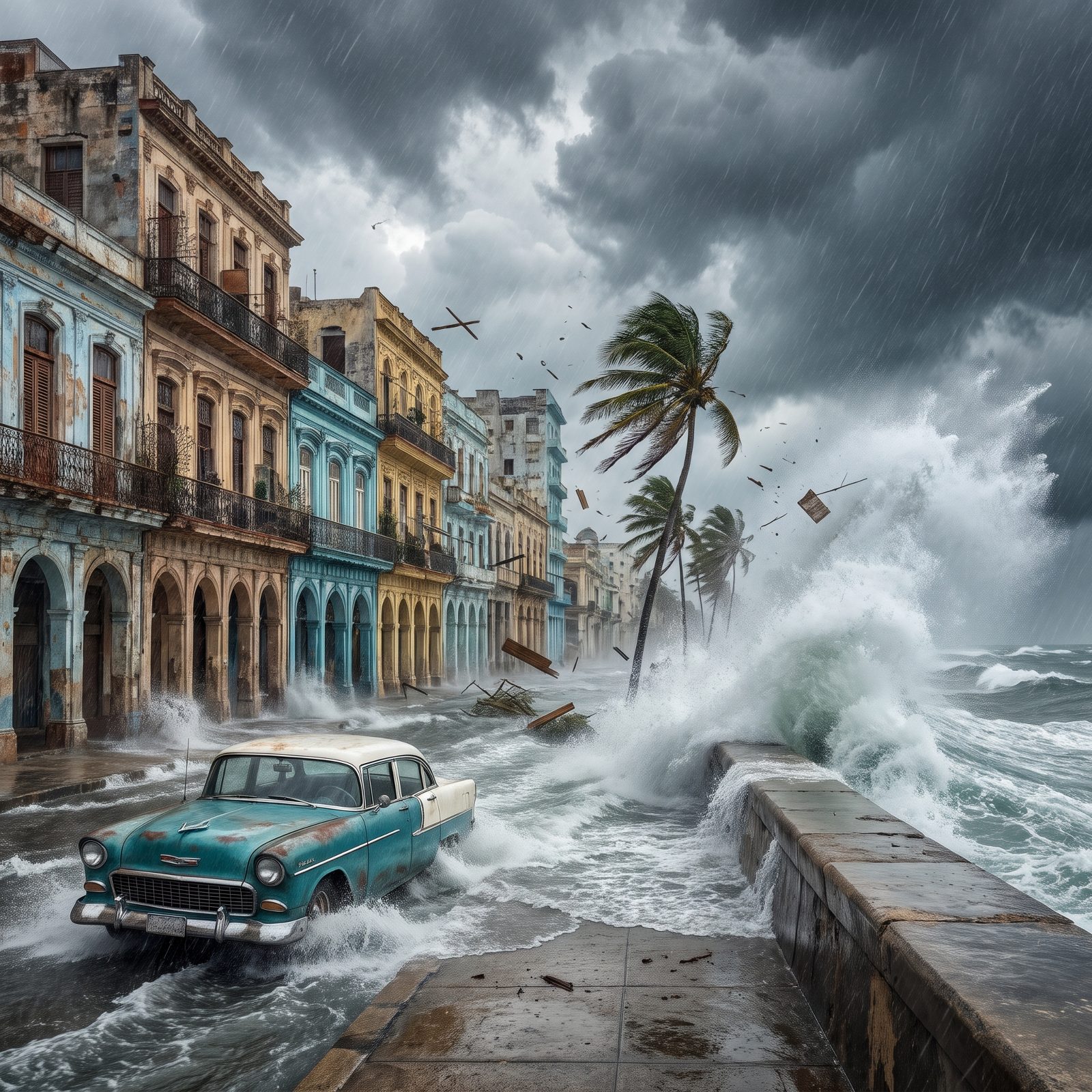
Watch footage of any strong storm passing Cuba and you’ll see the Malecón doing its signature trick: waves detonating over the seawall and pouring into Centro Habana. That’s routine weather. A Category 5 turns it into something else entirely.
Here’s the part people miss. Cuba runs one of the most effective hurricane evacuation systems in the hemisphere, with mandatory plans that have kept death tolls remarkably low. The buildings are the weak point. Decades of deferred maintenance left much of the old city structurally fragile, and saltwater seeping through aging masonry is a slow, quiet kind of ruin.
31. Cancún: Resort Towers Against the Caribbean’s Worst
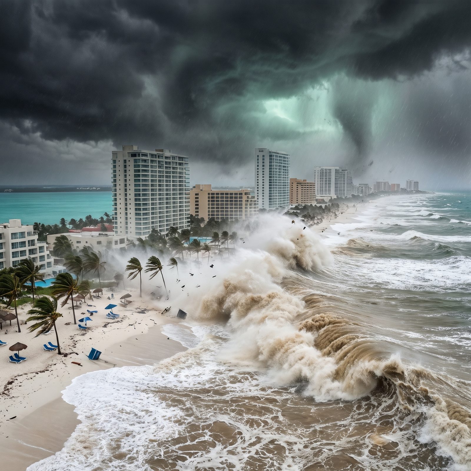
Cancún knows this storm by name: Wilma. In 2005 it hovered over the coast as a Category 4 for the better part of two days, stripped the beaches bare, and hammered the Hotel Zone so hard the sand had to be pumped back in afterward.
Wilma, for the record, became the most intense Atlantic hurricane ever measured by barometric pressure before it arrived. That strip of resort towers sits on a narrow sandbar wedged between the sea and a lagoon. A faster-moving Cat 5 would hit harder and leave less behind.
30. Manila: Twenty Million People in the Path
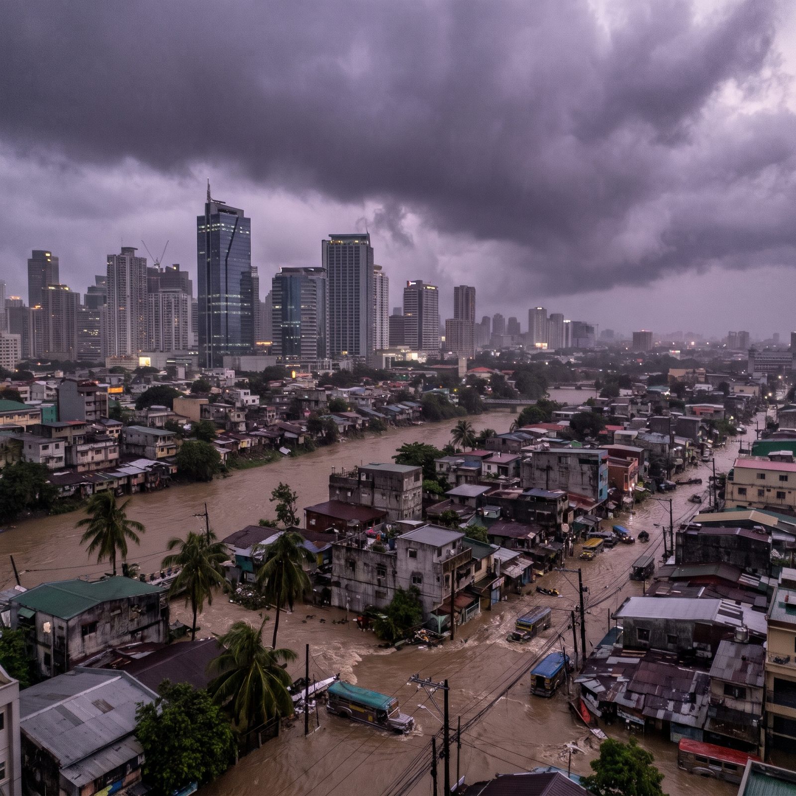
The Philippines takes roughly twenty typhoons a year, more than any country on Earth. Manila’s metro packs well over thirteen million people into its districts, many of them low-lying enough to flood from an ordinary monsoon.
Super Typhoon Haiyan in 2013 missed Manila but struck the central Philippines as one of the strongest storms ever recorded at landfall, killing more than 6,000. The capital’s exposure comes down to geography and density, not luck.
A storm’s wind speed makes the headlines. The population in its path writes the death toll.
29. New York City: The Skyline Nobody Pictures in a Hurricane

New York isn’t a tropical city, which is precisely what makes it dangerous. The water up here runs cooler, so hurricanes almost never hold Cat 5 strength this far north. Almost.
Superstorm Sandy in 2012 wasn’t even a hurricane at landfall. It was a hybrid system with winds barely at Category 1, and it still flooded the subways, cut power to Lower Manhattan, and racked up tens of billions in damage. The harbor funnels surge beautifully, in the worst possible sense of the word.
A genuine Cat 5 making it this far remains unlikely. But warming seas make “unlikely” a word worth watching.
28. Hong Kong’s Victoria Harbour Under a Category 5 Wall of Water

Hong Kong already knows big storms. Typhoon Mangkhut in 2018 pushed water into Victoria Harbour and sent glass raining off towers, and it had peaked as a strong Cat 5 out at sea before weakening near the coast.
What makes the city uniquely exposed is geometry. The harbour funnels surge straight into the dense Central waterfront, where land sits barely above sea level and the warning scale runs all the way to T10, the maximum. A sustained Cat 5 landfall would be the nightmare version of what Mangkhut only hinted at.
27. Shanghai’s Pudong Skyline Swallowed by Storm Surge
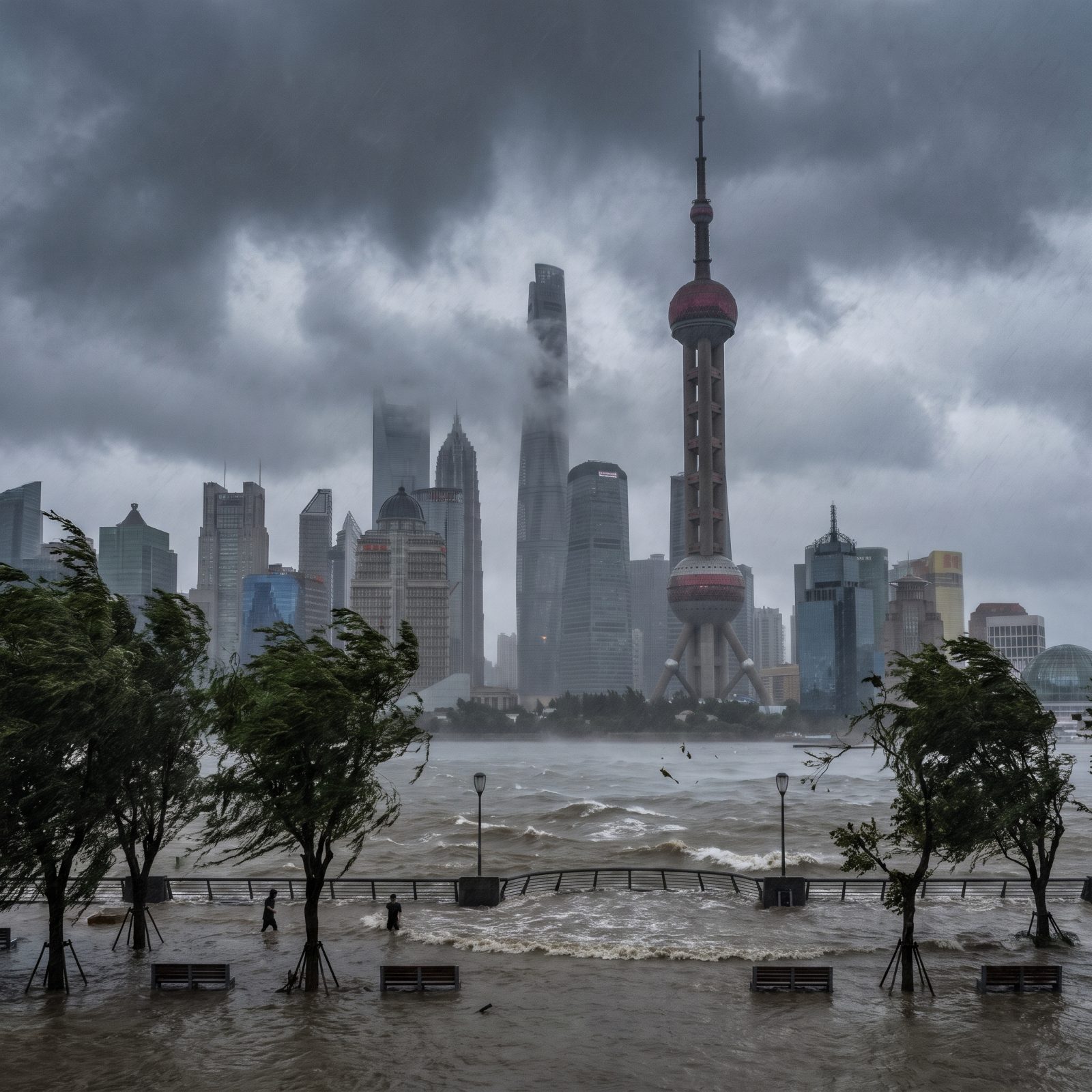
Shanghai ranks among the most flood-vulnerable megacities anywhere, and the reason is thoroughly unglamorous. Much of it sits on soft river delta soil only a meter or two above the sea, and parts have been quietly sinking for decades thanks to all the groundwater we’ve pumped out.
A Category 5 striking at high tide would turn the Huangpu into something the Bund’s flood walls were never built to hold. The researchers who model surge for the Yangtze Delta keep flagging this exact stretch as the place where the water, not the wind, does the real damage.
26. Mumbai’s Marine Drive Erased by a Monster Cyclone
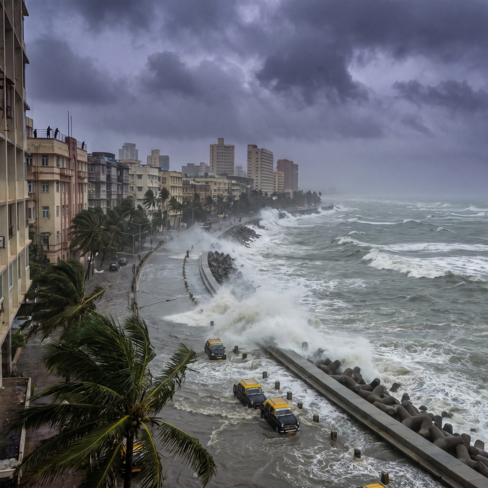
The Arabian Sea used to be the calm neighbor. Not anymore. Warming surface waters have been spinning up stronger cyclones on India’s west coast, and Cyclone Tauktae in 2021 genuinely rattled a city that had always assumed its storms came from the east.
Mumbai crams more than 20 million people onto low, reclaimed land that mostly hovers near sea level, and the drainage system is a century old in places. A Cat 5 arriving mid-monsoon, with the ground already waterlogged, is the scenario disaster planners quietly dread above all others.
25. Tokyo Bay Pushed Over Its Defenses
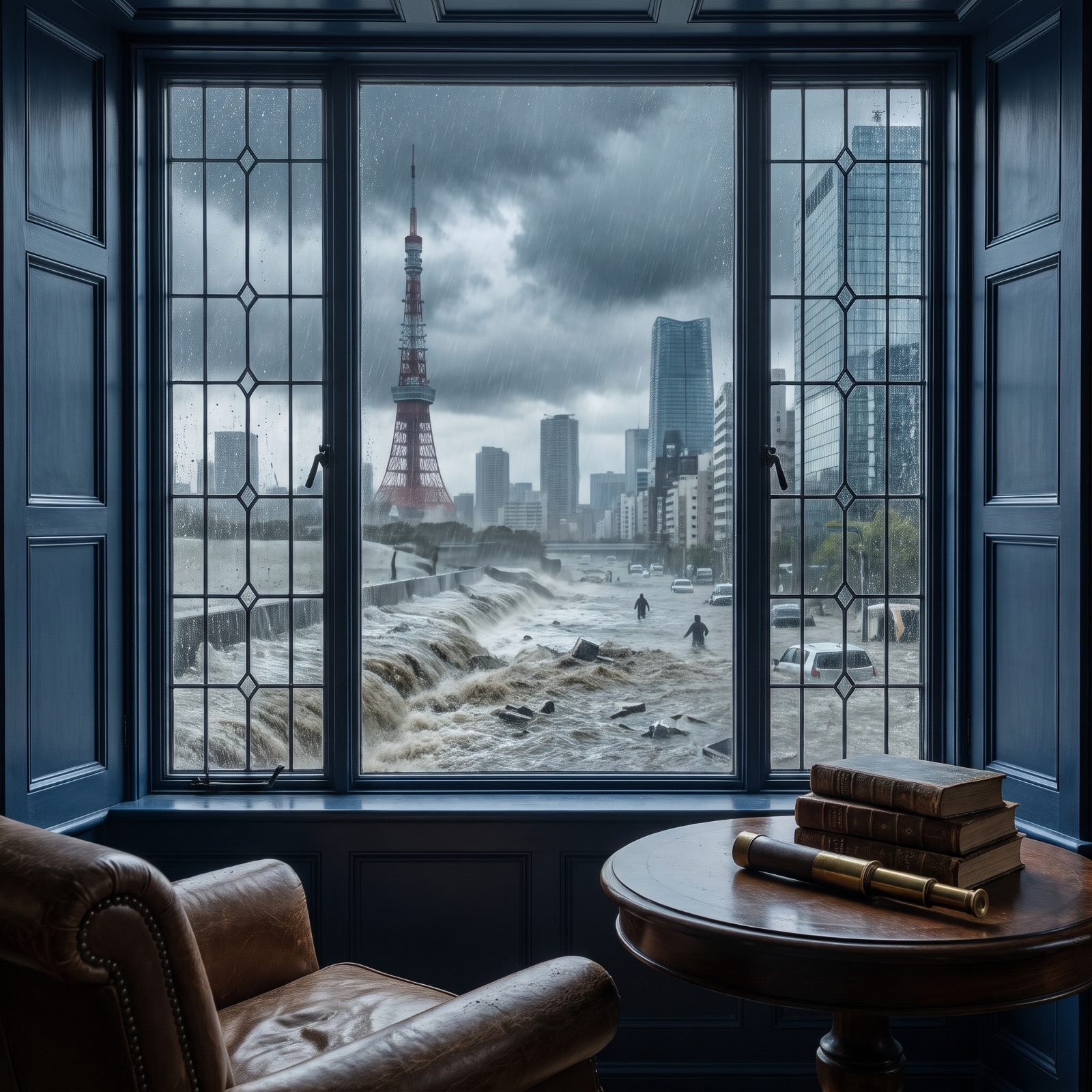
Tokyo takes storms more seriously than almost any city on the planet, and it has every reason to. The Muroto typhoon of 1934 and the Vera typhoon of 1959 remain brutal entries in Japan’s record; Vera alone killed over 5,000 people, most of them by surge.
Now the uncomfortable part. Eastern Tokyo holds whole neighborhoods sitting below sea level, kept dry by levees, floodgates, and the cathedral-like underground tanks of the “G-Cans” diversion channel. Those defenses are engineering marvels. A sustained Category 5 landfall at the wrong tide would push them to the edge of their design limits, and nobody is in a hurry to learn exactly where those limits sit.
24. Singapore’s Marina Bay Caught in a Storm It Isn’t Built For
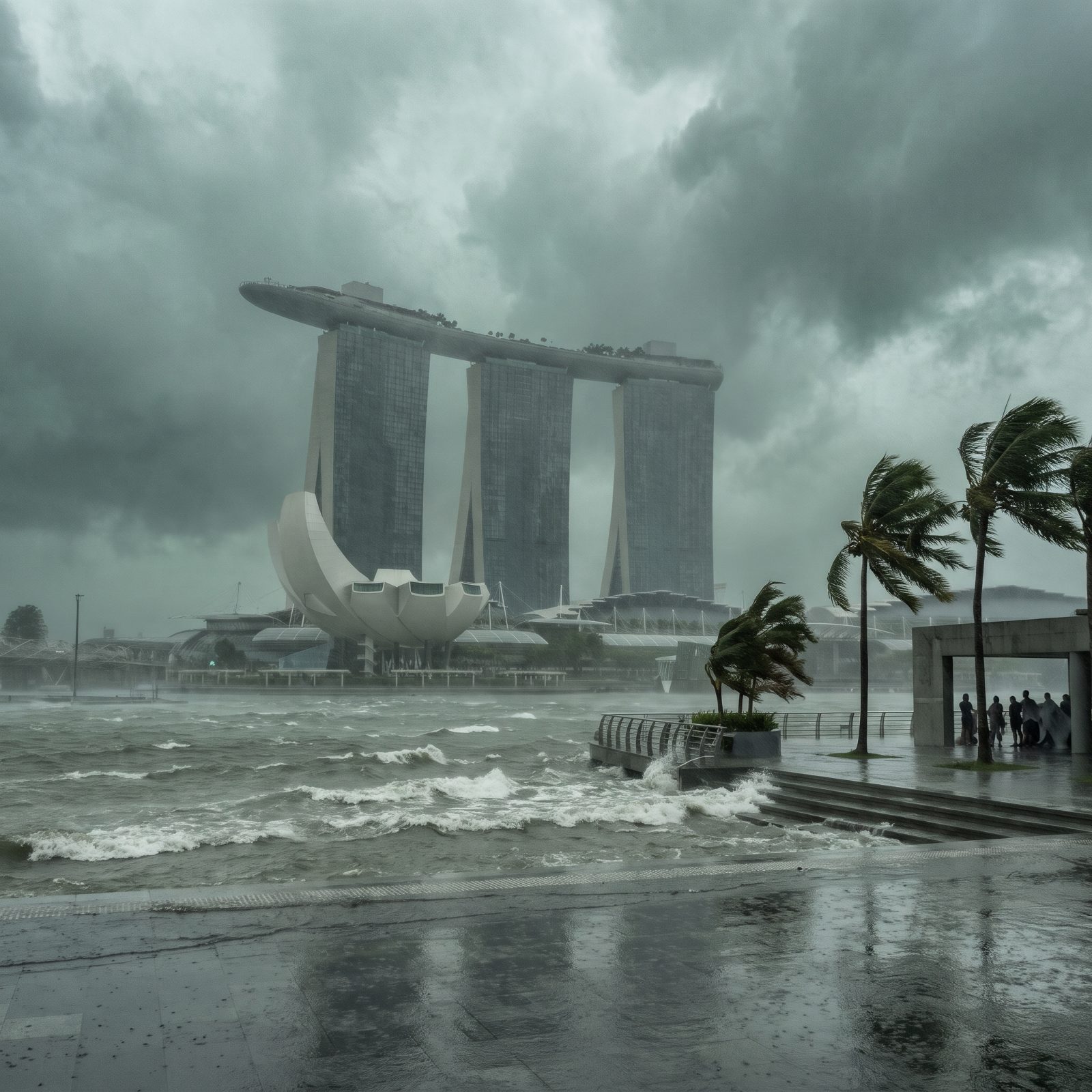
Singapore basically never gets a direct hurricane, and that’s exactly what makes this scenario eerie. Perched almost on the equator, the island lacks the Coriolis force that tropical cyclones need to spin up, so a true Cat 5 forming and hitting here is close to meteorologically impossible.
And there’s the believe-it-or-not catch. A city this wealthy and this low has never needed hurricane engineering, because physics refuses to supply one. Bend the rules, though, and Marina Bay’s reclaimed shoreline would suddenly face a force the whole place was designed to ignore.
23. Jakarta, a Sinking City, Meets a Category 5 Wall
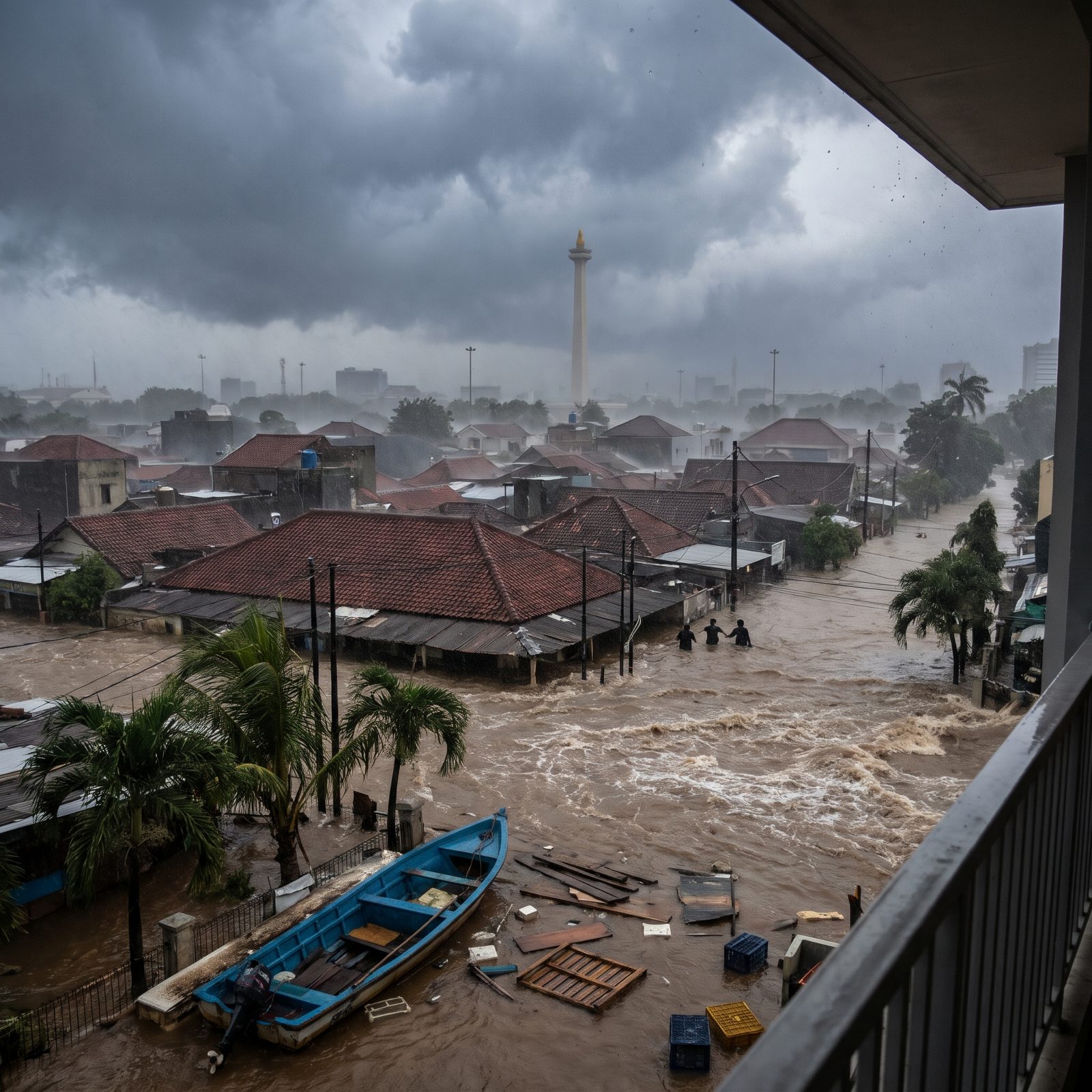
Jakarta is going down faster than almost any major city on Earth, because residents have been pumping out groundwater for generations. Whole stretches of North Jakarta already sit below sea level, held back by aging seawalls, and the place floods badly from nothing more than ordinary monsoon rain.
The danger has gotten alarming enough that Indonesia is moving its capital to Borneo. Now drop a Category 5 on a megacity already losing its fight with the ocean. You get the starkest picture anywhere of slow collapse and sudden catastrophe arriving together.
22. Bangkok’s Chao Phraya River Turned Against the City
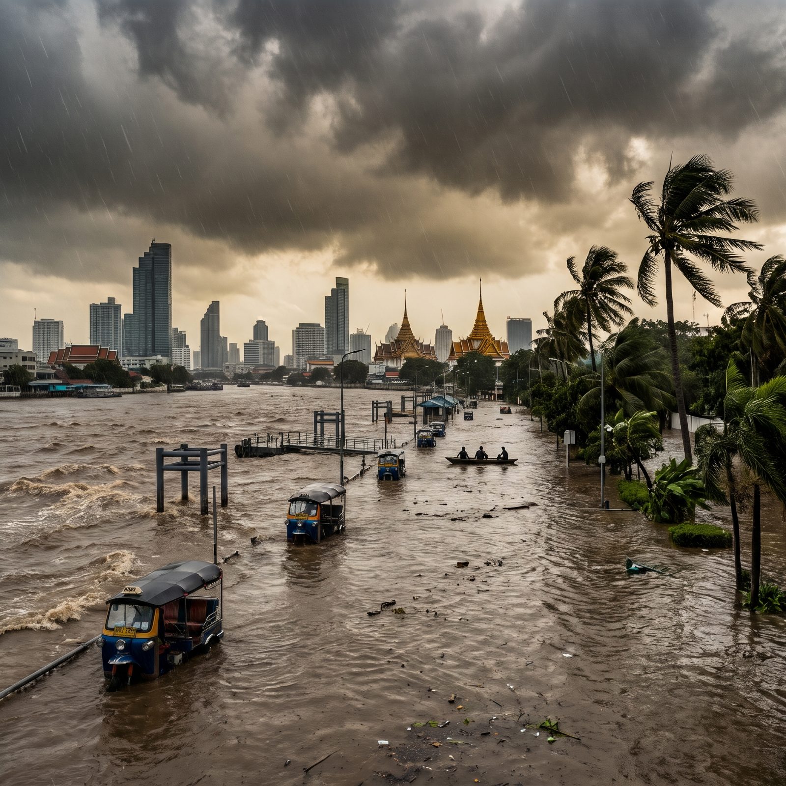
Elevation is the Bangkok problem nobody can engineer away in a hurry. Most of the city rests a meter or two above the sea on soft delta clay, and like Jakarta, it keeps sinking. The great flood of 2011 put parts of the city underwater for weeks, and that was river flooding, not even a cyclone.
Thailand doesn’t usually catch direct Cat 5 hits, though tropical storms do reach the Gulf. Pair a surge pushing up the Chao Phraya with a river already swollen from upstream, and you’ve got a bathtub with the drain plugged. Honestly, the wind was never Bangkok’s biggest enemy.
21. Dubai, a Desert Skyline, Hit by a Storm That Shouldn’t Exist

Dubai gets so little rain that a single heavy downpour in April 2024 drowned the roads and flooded the airport, because the drainage simply isn’t built for water. And that was just a thunderstorm.
The Arabian Gulf runs shallow and warm but is usually too small and dry to let a full Cat 5 spin up and hold together, though the Arabian Sea just beyond has already produced monsters like Cyclone Gonu in 2007. A storm of that size sliding into the Gulf would meet a glittering coastline, artificial islands and all, that was built for sun rather than surge.
20. Honolulu and the Hurricane Hawaii Has Been Lucky to Dodge
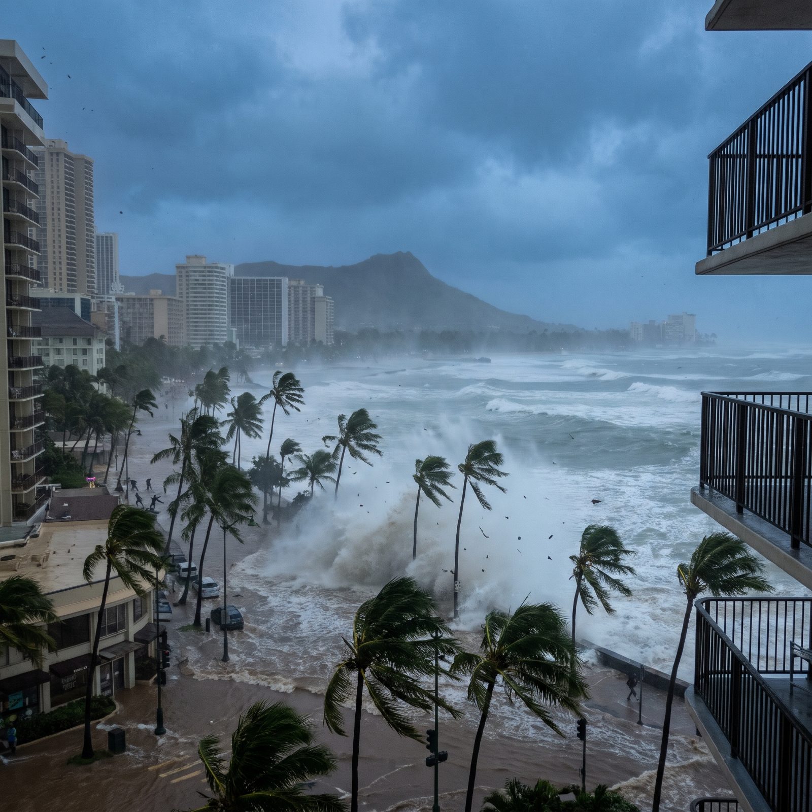
Hawaii has been astonishingly lucky, and most people have no idea how narrow the calls have been. Hurricane Iniki tore into Kauai in 1992 as a Category 4 and still stands as the state’s costliest storm. Oahu, home to Honolulu, has never taken a direct major-hurricane hit in the modern record.
The islands’ steep terrain tends to shred incoming storms. It’s not a force field, though, and warming ocean water is widening the window for strong Central Pacific hurricanes. A Cat 5 on Waikiki, with its wall of beachfront towers crammed onto a thin ribbon of sand, is the one the forecasters in Honolulu never stop watching for.
19. Sydney Harbour, Where Cyclones Aren’t Supposed to Reach
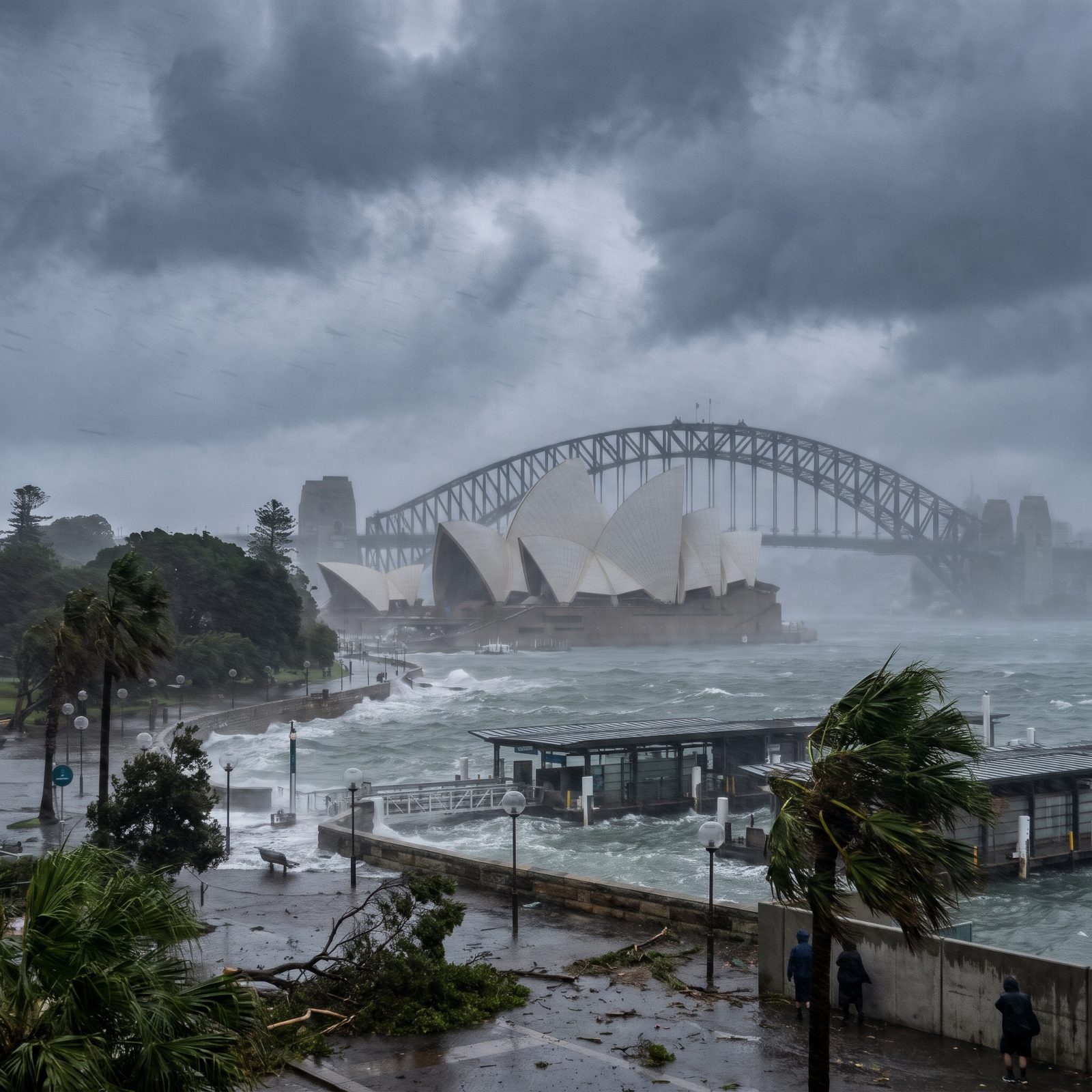
Sydney sits too far south for a tropical cyclone to arrive at full strength, and that quirk is the whole believe-it-or-not of this one. Cyclones take shape in Australia’s warm tropical north and come apart long before they could drift down to the cooler waters off New South Wales.
So the Opera House has never squared off against a Cat 5, and under the current climate it realistically never will. Sydney does cop savage “east coast lows,” storms that can hurl surge and wind at the harbour with surprising menace. The image above is pure fantasy. The nervous glances locals throw at a wild southerly buster? Those are entirely real.
18. Rio de Janeiro: Christ the Redeemer Watching the Water Climb
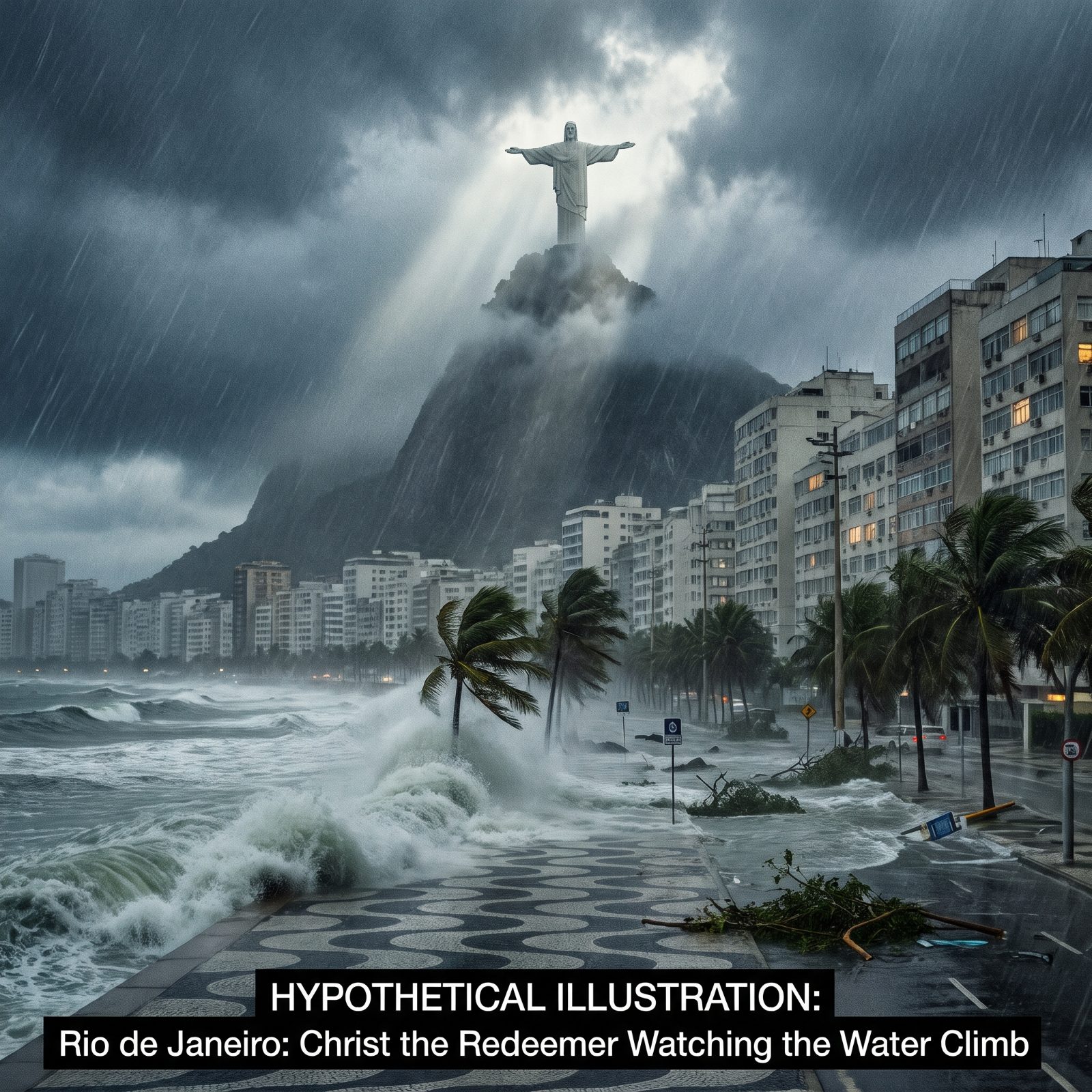
Let’s start with an honest confession: Rio will almost certainly never see a hurricane. The South Atlantic barely makes them, because the recipe calls for warm water and weak wind shear, and this stretch of ocean runs cool and shear-heavy for most of the year.
But the exception matters. In March 2004, Hurricane Catarina hit southern Brazil — the only South Atlantic hurricane ever confirmed by satellite. Not a Category 5. It rattled meteorologists anyway, because every textbook they’d ever read insisted it couldn’t happen there at all.
17. Los Angeles: Palm-Lined Boulevards Under a Wall of Surge
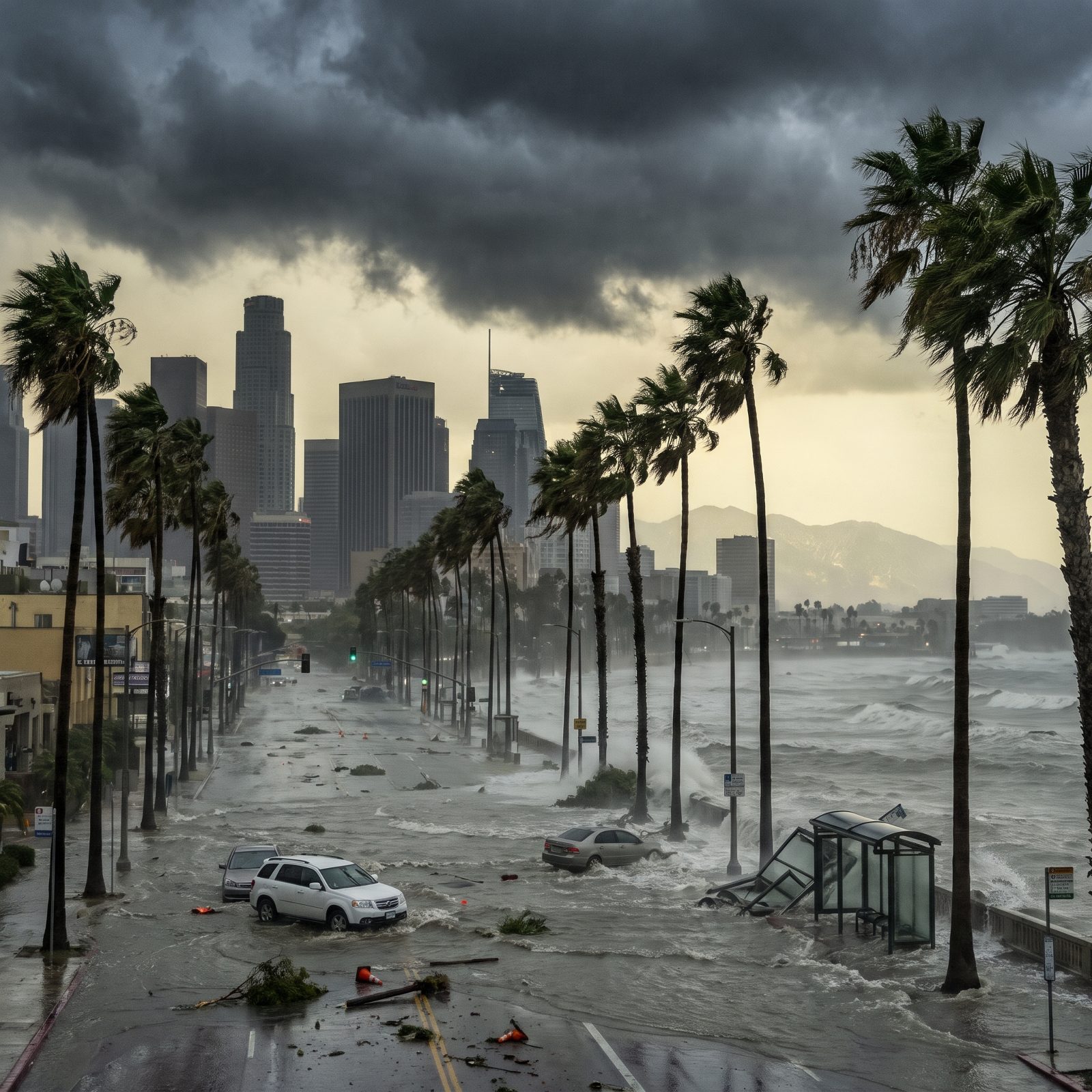
LA fears earthquakes and fire, not hurricanes, and the Pacific is the reason why. The cold California Current, usually lingering in the 60s Fahrenheit, strips the fuel a hurricane needs long before it ever reaches the coast.
And yet tropical systems have brushed Southern California. In 1939, an unnamed tropical storm came ashore near Long Beach and drowned roughly 45 people at sea and inland. More recently, the remnants of Hurricane Hilary soaked the region in August 2023 with record rain and desert flooding.
A real Category 5 making landfall here would be unprecedented. The warming water offshore is the detail nobody loves to dwell on.
16. San Francisco: The Golden Gate Vanishing Into the Rain
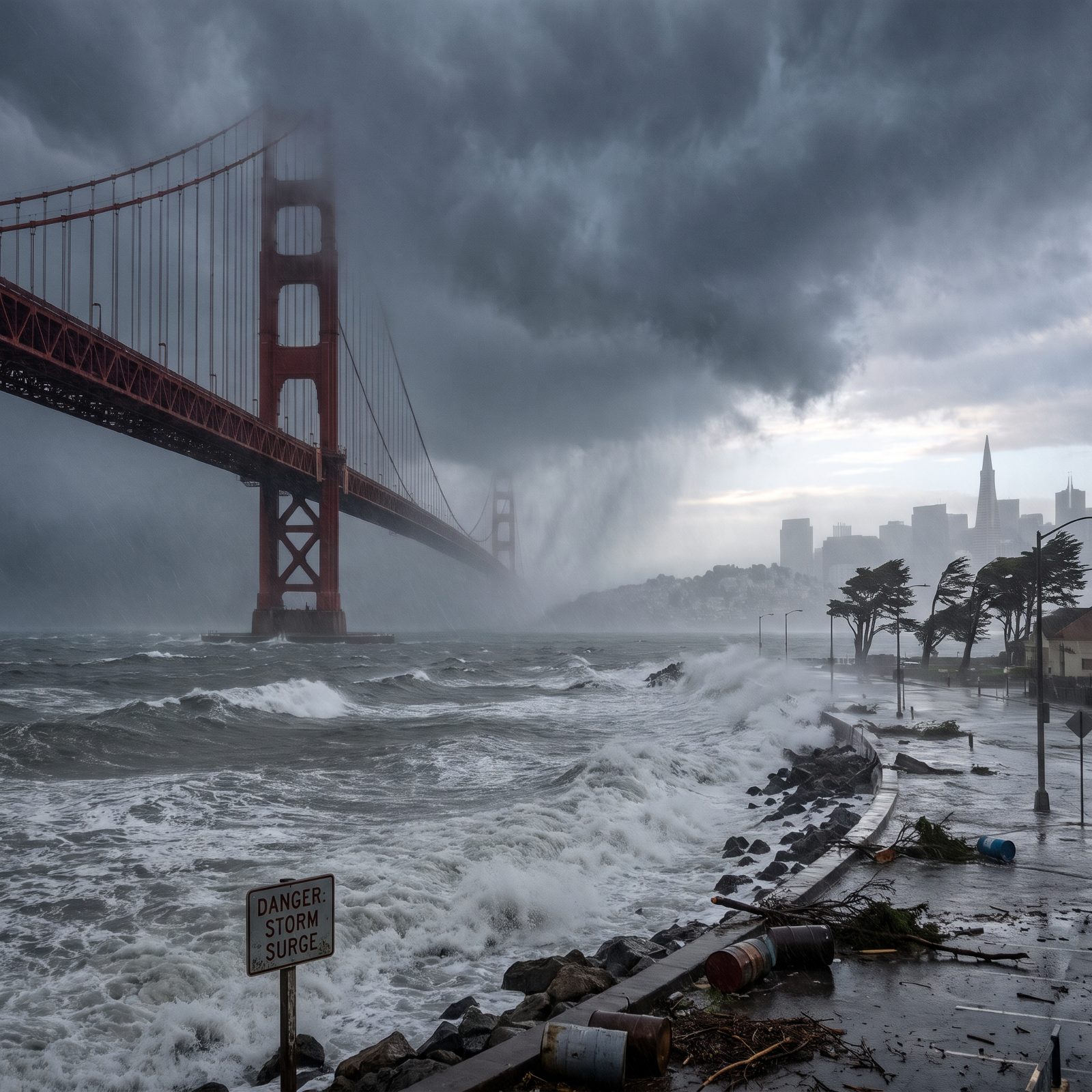
San Francisco gets fog, not fury. That same cold upwelling that chills the bay and feeds the famous summer fog also starves any tropical storm reaching for the coast.
The city has survived plenty, mostly from below. The 1906 earthquake and fire remain the defining disaster, while a hurricane never cracks the list — and the bridge itself is built to withstand winds of roughly 100 mph.
Now picture 160-mph gusts funneling through the Golden Gate strait. The bridge has closed for high wind only a handful of times in its whole history. The imagery alone would rewrite what this city thinks it needs to fear.
15. Chicago: The Loop Drowning in a Freshwater Fury

A hurricane in Chicago is a physical impossibility, and that’s exactly the fun of imagining it. Hurricanes feed on warm salt water and die over land within hours, so anything tropical reaching the Midwest would arrive as a rain event — no eye, no spiral, just water falling out of the sky.
What Chicago does get is nearly as violent in short bursts. Derechos — straight-line wind storms — have hit with gusts topping 90 mph. And Lake Michigan generates its own surge, a seiche, where wind shoves lake water into a towering, sloshing wall.
14. Boston: Colonial Streets Facing a Nor’easter’s Angry Cousin
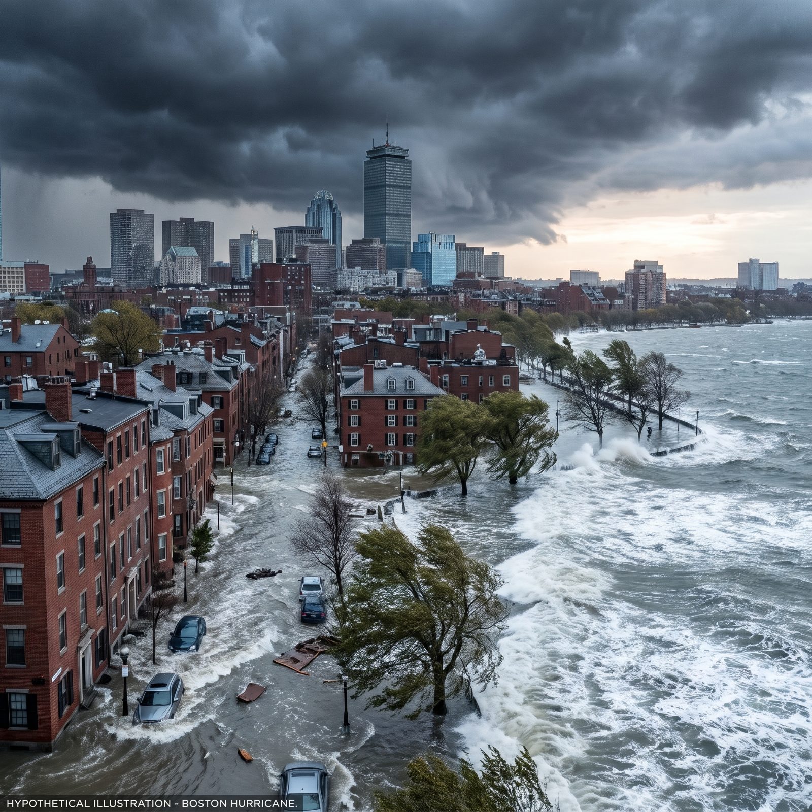
Of the northern cities gathered here, Boston has the most plausible claim. New England has taken direct hurricane hits before, and the geography makes everything worse than people expect.
The Great New England Hurricane of 1938 slammed the coast as a Category 3, killed hundreds, and reshaped shorelines overnight. The funnel shape of the coast concentrates storm surge, piling water into bays and harbors until there’s nowhere left for it to go.
A Category 5 would be far stronger than anything on record here. Northern Atlantic water rarely stays warm enough to sustain that intensity all the way to landfall. Rarely. That’s the word to sit with.
13. Cape Town: Table Mountain Capped by a Spinning Black Sky
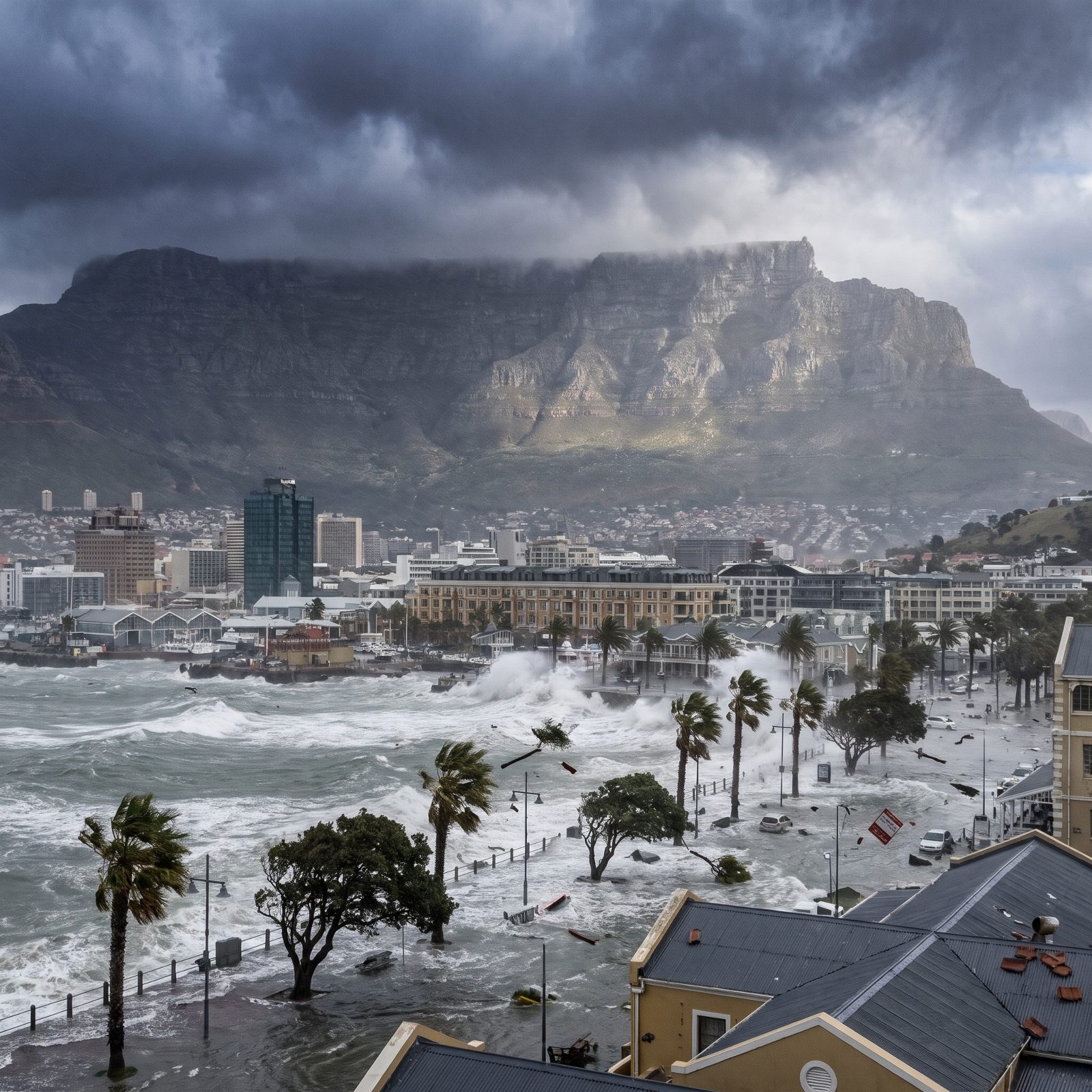
Cape Town knows wild weather — the Cape of Good Hope has terrified sailors for centuries. But tropical cyclones? Forget it. The cold Benguela Current running up the west coast keeps that water far too cool for a hurricane to survive.
Tropical cyclones do slam into southern Africa, just on the other side. Mozambique and Madagascar take brutal hits from Indian Ocean storms, including the catastrophic Cyclone Idai in 2019. All the warm water is over there.
Cape Town’s real menace is the Cape Doctor, a southeasterly gale that scours the peninsula and lays that famous tablecloth of cloud over the mountain. Fierce, yes. A hurricane, no.
12. Venice: Canals Swallowed by Something Far Worse Than Acqua Alta
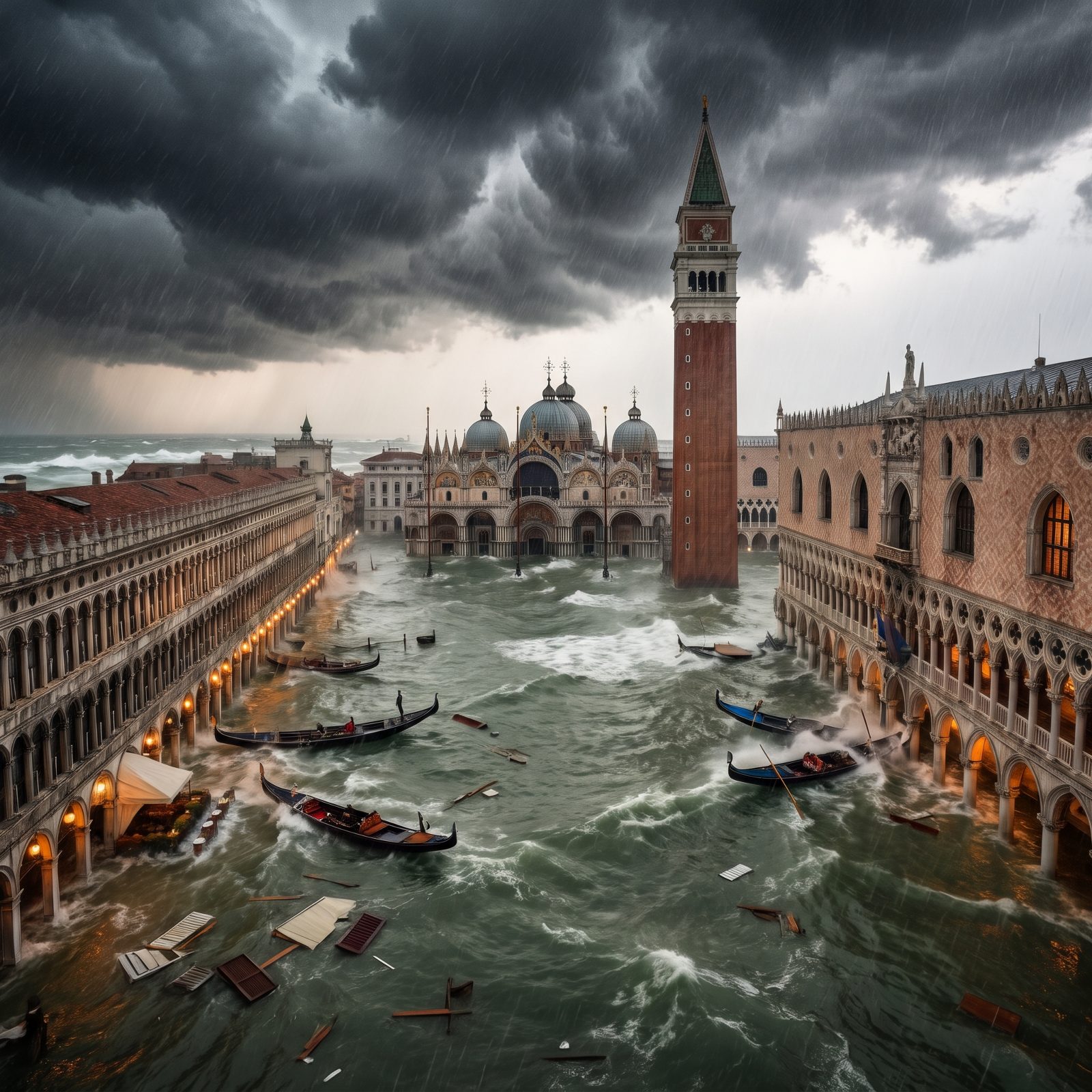
Venice already floods on a schedule. Acqua alta, the seasonal high water, has been part of the city’s rhythm for centuries. In November 2019, a surge pushed water more than 1.8 meters above normal — the second-highest on record — drowning St. Mark’s Square and half the ground floors in the city.
The Mediterranean doesn’t make true hurricanes. What it makes are medicanes, hybrid tropical-like cyclones with an eye and spiral bands. Smaller and rarer than their Atlantic cousins, yet their intensity has been creeping steadily upward.
11. Amsterdam: A City Below Sea Level Meeting the Water Head-On
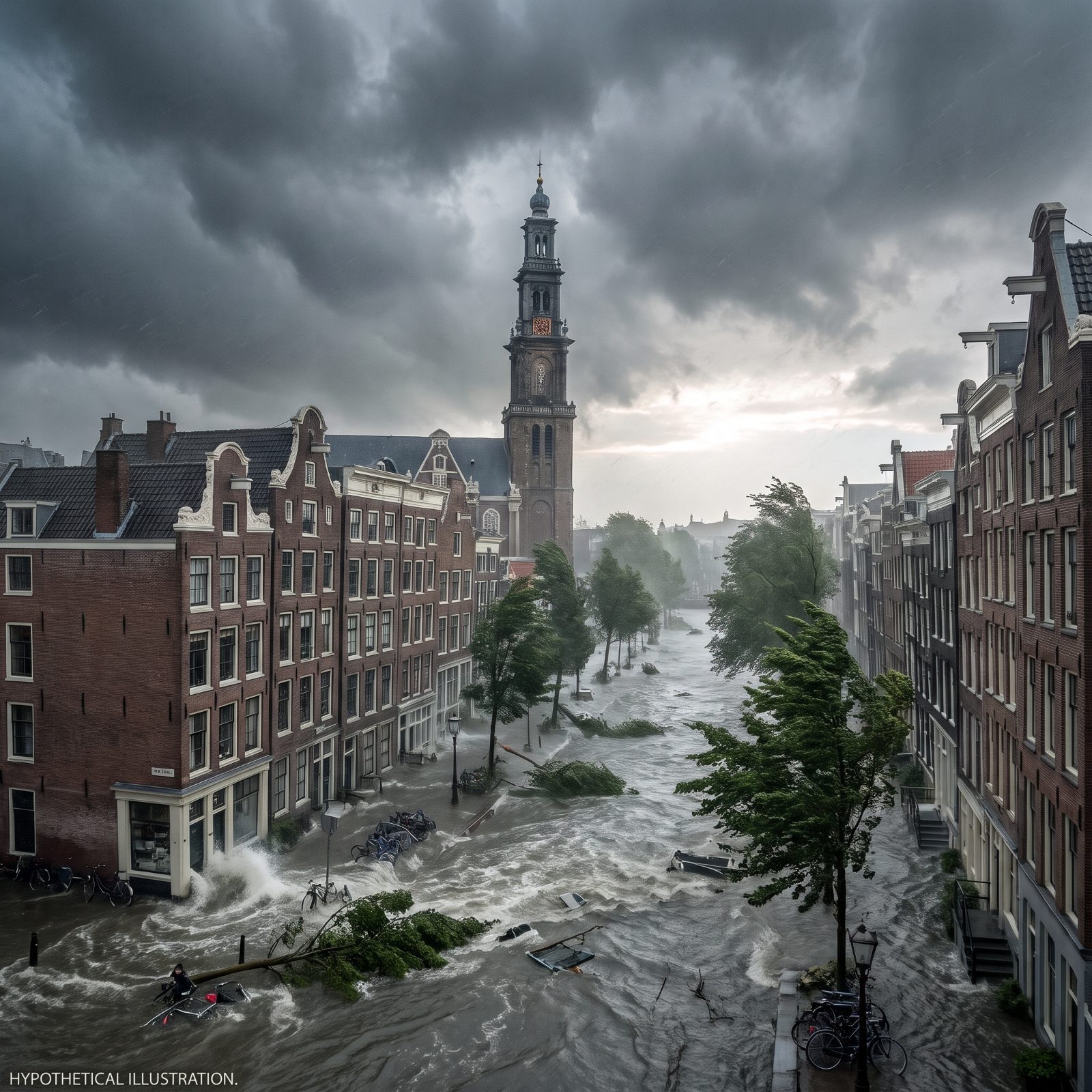
Much of Amsterdam sits below sea level. That’s not a hurricane scenario — that’s the ordinary Tuesday reality the Dutch have engineered around for a thousand years.
The North Sea is the real threat, and it has struck hard. The 1953 North Sea flood killed over 1,800 people in the Netherlands when a surge breached the dikes, and that catastrophe launched the Delta Works, among the largest flood-defense systems anywhere on Earth.
A Category 5 can’t form over the cold North Sea. But no one on the planet understands surge like the Dutch, because they live one failed barrier away from the water every single day.
10. Barcelona: Gaudí’s Spires Lashed by a Mediterranean Monster

The western Mediterranean is warming, and that changes all the math. Barcelona has already felt what the sea can throw at it.
In January 2020, Storm Gloria pounded the Catalan coast with waves reaching record heights — over 8 meters at one buoy — tearing up the Barceloneta beachfront and flooding the Ebro Delta. Not a hurricane. It looked close enough to spook everyone who watched it come in.
Medicanes are the Mediterranean’s answer to tropical storms, and a warming sea is loading the dice toward stronger ones. A real Category 5 stays fiction here. A medicane with teeth does not.
9. Lisbon: Tiled Hills Facing a Storm From the Open Atlantic
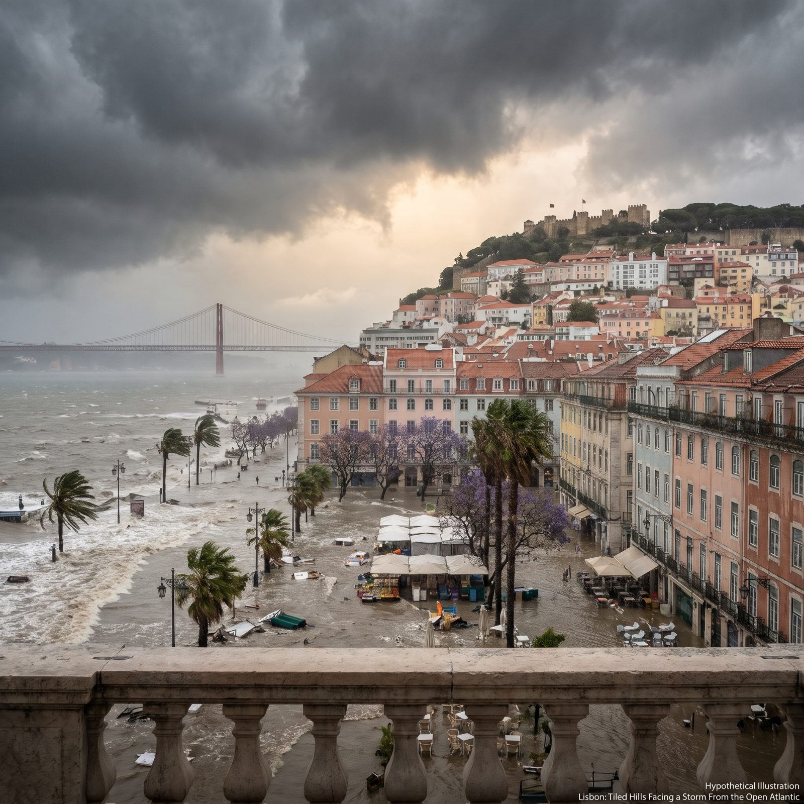
Lisbon faces the open Atlantic, which makes it the most exposed city on this whole list to anything barreling across the ocean. And unlike almost everywhere else here, Lisbon’s corner of Europe has actually taken a hurricane.
In October 2005, Hurricane Vince reached the Iberian Peninsula — the first tropical system known to hit the Iberian Peninsula in the modern record. It arrived weakened, more a tropical storm by then. But it arrived.
Hurricanes usually curve north and die before reaching Europe, yet as the eastern Atlantic warms, the ones that survive the trip east are getting stronger. Lisbon’s past offers a darker warning. The 1755 earthquake triggered a tsunami that drowned the waterfront. This city has met the water before.
8. Naples Under a Category 5: Vesuvius Watches the Harbor Drown
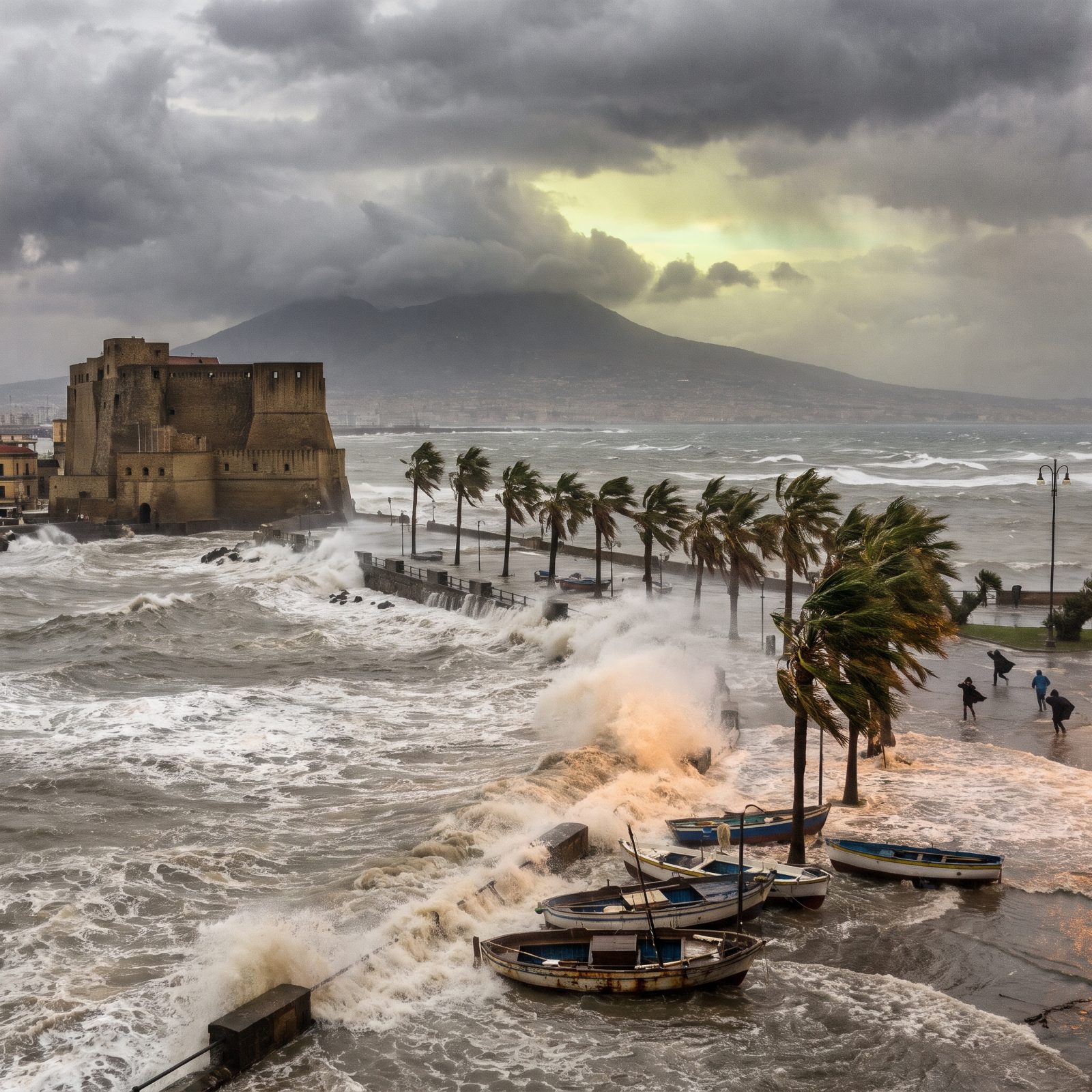
Start with the obvious problem: Naples does not get Category 5 hurricanes, because the Mediterranean simply can’t manufacture them. What it does cough up, now and then, are medicanes — Mediterranean tropical-like cyclones — and those are real, documented, and feeding on a sea that keeps getting warmer.
A true Cat 5 here is fiction. The image still borrows something true from the map, though. The Bay of Naples is a shallow curve facing open water, the exact shape that funnels and amplifies storm surge. Pack 3.9 million people around that curve on a shoreline crammed with history, and even a strong medicane turns ugly in a hurry.
7. Dubrovnik’s Red Roofs Against a Wall of Water
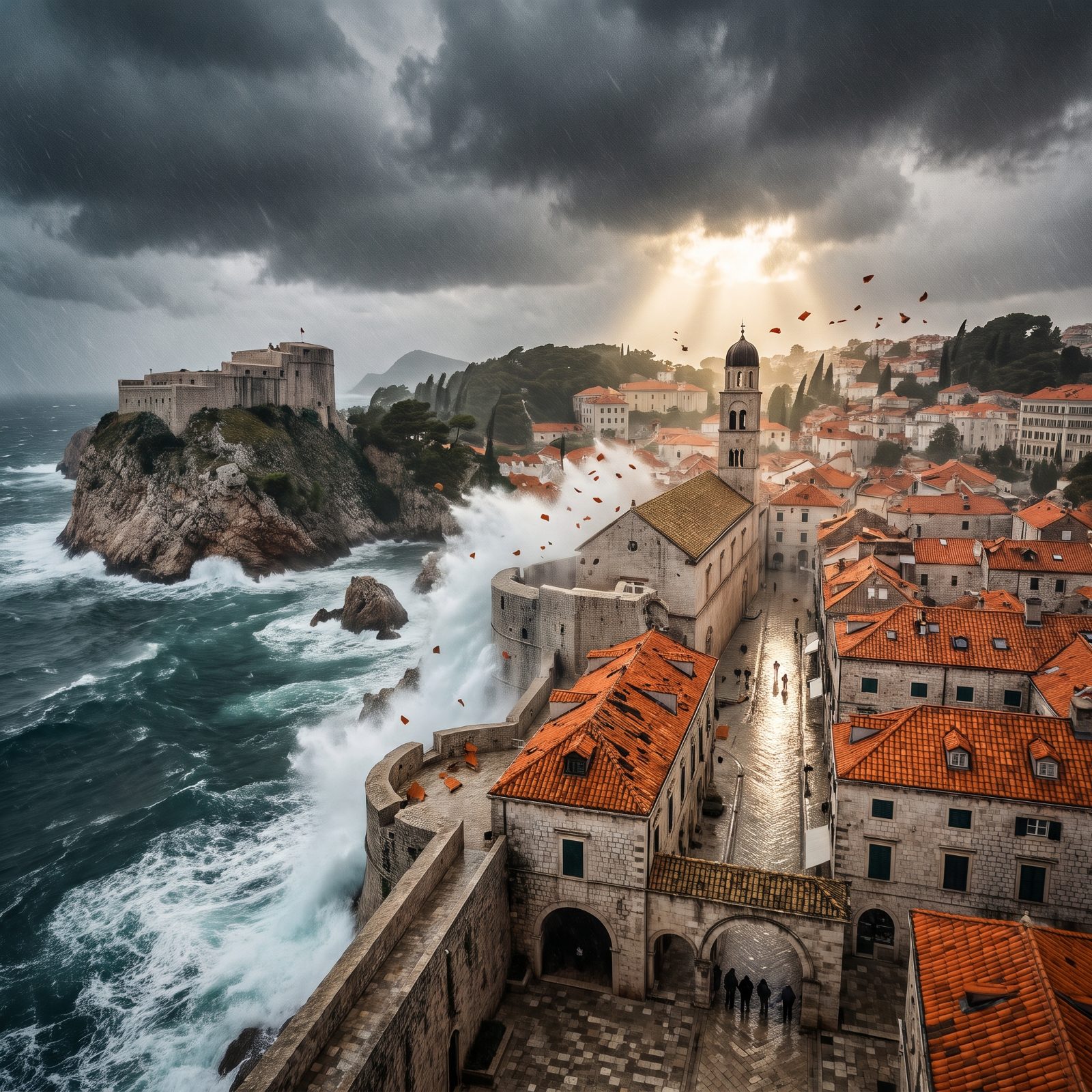
Those glowing orange roofs from every travel photo carry a quieter history than you’d guess. Many were rebuilt after shelling in the 1990s, which is why the tiles look so uniform from above. And in a Cat-5 scenario, roofs go first anywhere on Earth — a single terracotta tile turns into a flying blade at those wind speeds.
Dubrovnik has never seen a hurricane. The Adriatic can’t cook one up. What it can throw at you is the bora, a brutal downslope wind that screams off the mountains at over 100 mph. People who live here respect wind in a way inland folks never quite learn.
6. Istanbul Split by the Storm: Two Continents, One Catastrophe
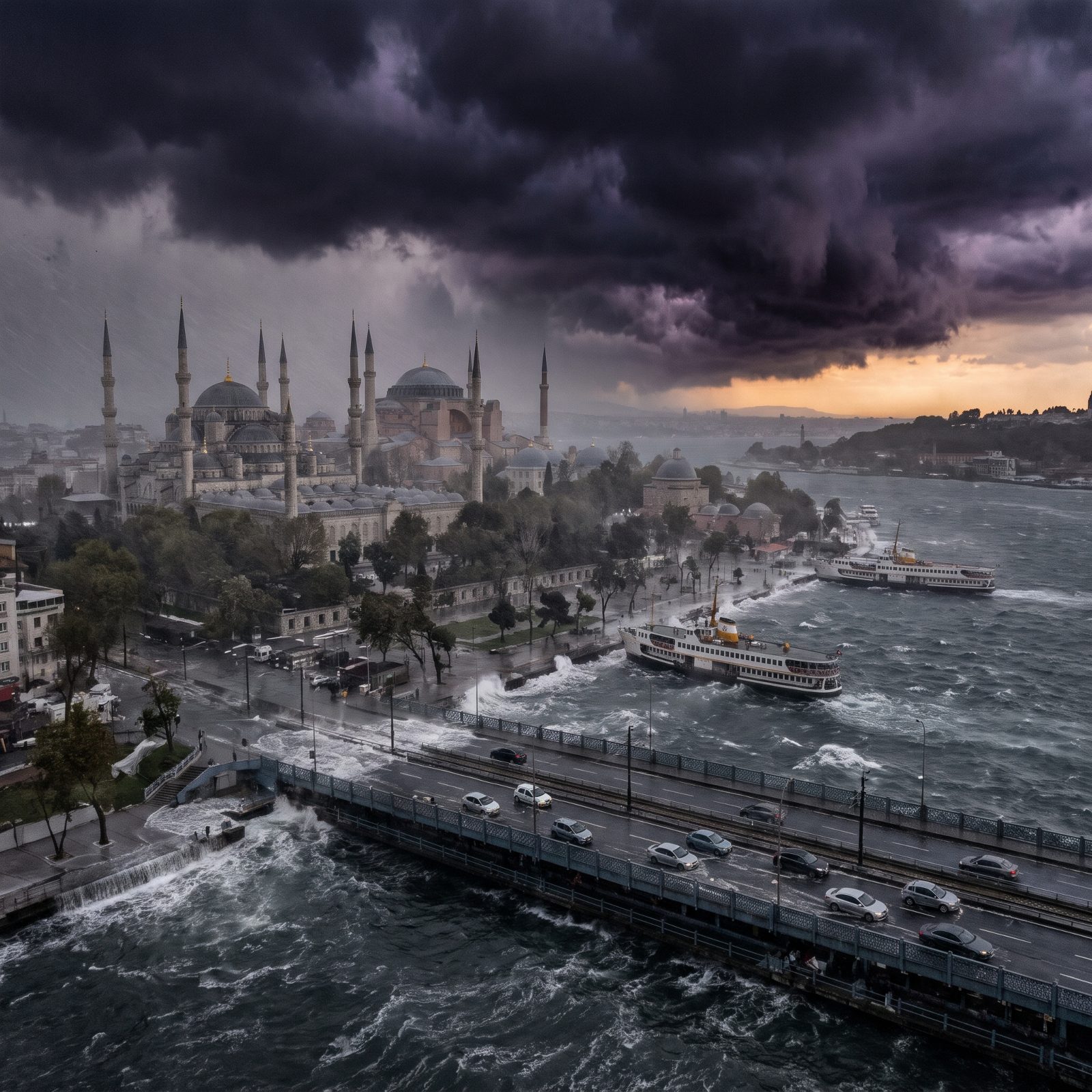
Istanbul faces a different monster than any hurricane, and this one is genuinely coming. Seismologists have flagged the North Anatolian Fault beneath the Sea of Marmara as overdue for a major quake, with serious estimates putting the odds high within the coming decades. That’s the real threat hanging over 15 million people.
The storm here is invented. What the picture gets right is the geometry — a dense megacity straddling a narrow strait. Surge has nowhere to spread. So it climbs.
Worth saying plainly: the Black Sea has spun up small tropical-like cyclones before, nothing remotely Cat 5. The science doesn’t support it, and we’d rather tell you that than pretend otherwise.
5. London Submerged: The Thames Barrier Pushed Past Its Limit

London’s real flood defense is one of those quiet engineering feats hardly anyone thinks about. The Thames Barrier, opened in 1982, has slammed its massive steel gates shut against surge more than 200 times to keep the city dry, and it was built to hold the line until roughly 2070.
A Cat 5 doesn’t belong at this latitude. The Atlantic does occasionally lob the dying remnants of hurricanes at Britain, downgraded to ferocious storms — and even those have killed people and flattened whole forests. The Great Storm of 1987 is the one older Brits still bring up unprompted.
4. Seattle in the Crosshairs: Elliott Bay Swallows the Waterfront
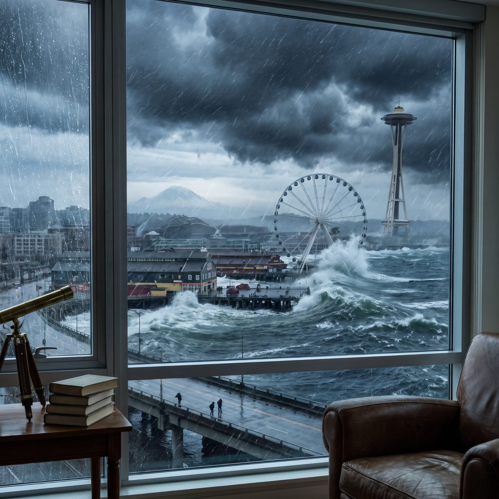
Here’s the twist the image leaves out: Seattle’s actual nightmare rises from below, not above. The Cascadia Subduction Zone offshore can produce a magnitude-9 earthquake and a Pacific tsunami — and geologists know it did exactly that, in January 1700. Japanese records logged the wave when it arrived.
Pacific hurricanes exist too, but cold northern water starves them long before they’d ever reach Washington. A Cat 5 here is pure fiction. What’s real is the Pineapple Express, atmospheric rivers that dump staggering rain and flood the region most winters.
3. Vancouver Battered: The Pacific Turns on the Mountains
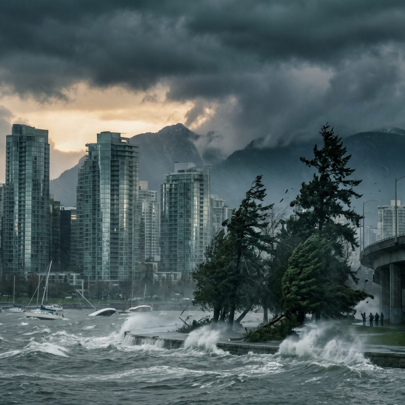
Vancouver already knows what a monster windstorm feels like, no tropical name required. In December 2006, a single night of wind tore through Stanley Park and toppled thousands of trees. Locals still point to the gaps where the canopy never came back.
The city’s bigger looming threat is that same Cascadia fault menacing Seattle, plus the atmospheric rivers that drowned huge stretches of British Columbia in November 2021. Roads vanished. Towns were cut off for days.
A Pacific hurricane reaching this coast at full strength? Can’t happen — the water’s too cold. We love that the picture lets us imagine it anyway, because a city wedged between mountains and sea really is vulnerable, just not to this.
2. Toronto Drowning: Lake Ontario Becomes an Ocean
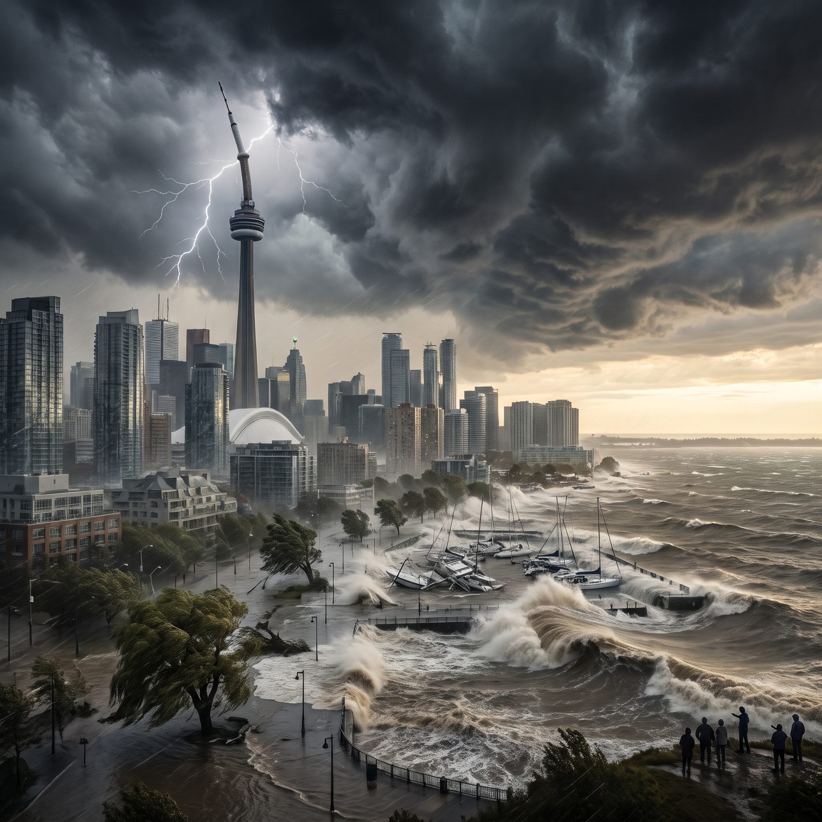
Toronto sits roughly 500 miles from the nearest salt water, so no ocean hurricane will ever reach it intact. And yet its deadliest weather event on record was, improbably, a hurricane — Hazel, in October 1954.
By the time Hazel’s remnants reached Toronto it had lost its tropical structure, and it still killed 81 people and swept entire houses down the Humber River. That flood rewrote the city’s building rules. Thank Hazel for why nobody builds on those floodplains anymore.
1. New Delhi in the Storm: A Landlocked Megacity Under Water
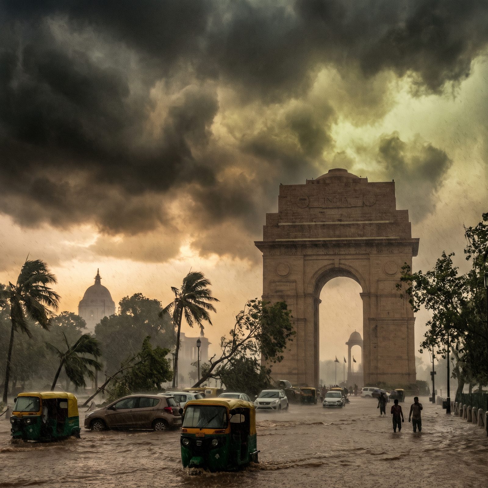
New Delhi sits about 800 miles from the sea, which makes a hurricane here flatly impossible. This is the most fictional image in the whole set, and it’s worth being honest about that.
The monsoon, though, is completely real. Every summer Delhi floods — streets vanish, drains back up, and the Yamuna River swells, as it did dramatically in 2023 when it crested at a record high and swallowed neighborhoods near the old city. Meanwhile the Bay of Bengal genuinely spawns deadly cyclones, just hundreds of miles off to the east and south.
So treat the picture as a thought experiment. A way to feel what 33 million people already brace for every July, cranked up to something the land here will never actually deliver.
The ocean can’t reach Delhi. The sky handles the flooding just fine on its own.